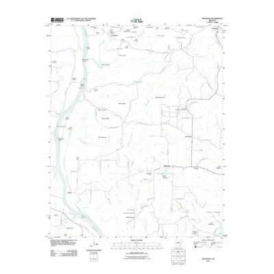
2011 Map of Bethesda
USGS Topo · Published 2011About this map
The White River flows through the western half of this Arkansas landscape, defining a region where river transport and industrial extraction have long intersected. Near the river's bend, Batesville Shoal and Walls Ferry Road hint at historic crossing points and river navigation challenges. The northern hills are densely marked with manganese and mineral extraction history, featuring numerous named sites such as the McBride Mines, George Mine, and the Kimbrough Mine, alongside many prospects like the Tosh Hill Prospect.
Find a feature on this map
124 named features on this map. Tap any name to fly to it.
Don’t see what you’re looking for? This feature index may not catch every label — zoom into the map to look around manually.
Map Details
Editions of this 2011 Bethesda Map
This is the sole edition of this map. No revisions or reprints were ever made.
Other maps of this area

1890 · Batesville
USGS Topo · 1:125,000

1891 · Batesville
USGS Topo · 1:125,000

1942 · Bethesda
USGS Topo · 1:24,000

1942 · Jamestown
USGS Topo · 1:31,680

1942 · Almond
USGS Topo · 1:31,680

1942 · Batesville
USGS Topo · 1:31,680

1942 · Mt Pleasant
USGS Topo · 1:31,680

1943 · Sandtown
USGS Topo · 1:24,000

1943 · Batesville
USGS Topo · 1:24,000

1953 · Memphis
USGS Topo · 1:250,000