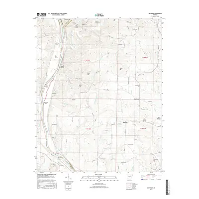
2017 Map of Bethesda
USGS Topo · Published 2017About this map
Bethesda and the neighboring hills of Independence County are depicted here in a landscape defined by the winding course of the White River. The area is marked by a series of high ridges and hollows, including Pilgrim Ridge and Dave Green Hollow, which separate the river valley from the farming settlements to the east. Several established communities are scattered across the map, such as Cushman in the north and O'Neal to the southwest, while more localized spots like Harmontown and Collietown illustrate the area's rural settlement pattern. Historically significant sites for genealogists include Campground Cem and Pilgrims Rest Cem. The White River itself is a dominant feature, showing named islands and navigation points like York Island and Batesville Shoal, which were critical for transport and travel before modern highway development changed the region's movement.
Find a feature on this map
154 named features on this map. Tap any name to fly to it.
Don’t see what you’re looking for? This feature index may not catch every label — zoom into the map to look around manually.
Map Details
Editions of this 2017 Bethesda Map
This is the sole edition of this map. No revisions or reprints were ever made.
Other maps of this area

1890 · Batesville
USGS Topo · 1:125,000

1891 · Batesville
USGS Topo · 1:125,000

1942 · Bethesda
USGS Topo · 1:24,000

1942 · Jamestown
USGS Topo · 1:31,680

1942 · Almond
USGS Topo · 1:31,680

1942 · Batesville
USGS Topo · 1:31,680

1942 · Mt Pleasant
USGS Topo · 1:31,680

1943 · Sandtown
USGS Topo · 1:24,000

1943 · Batesville
USGS Topo · 1:24,000

1953 · Memphis
USGS Topo · 1:250,000