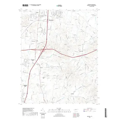
2019 Map of Bethesda
USGS Topo · Published 2019About this map
Franklin and its southern agricultural hinterland define this section of Williamson County, where the Harpeth River and West Harpeth River drainage systems shape the landscape. The area is a dense network of family-named landmarks and early burial grounds, such as Gillespie Cem, Edgmon Cem, and Childress Cem, which provide significant data points for genealogical research in this long-settled region. The Tennessee Valley Divide cuts through the southern portion of the map, separating the local waters from the Duck River basin.
Find a feature on this map
199 named features on this map. Tap any name to fly to it.
Don’t see what you’re looking for? This feature index may not catch every label — zoom into the map to look around manually.
Map Details
Editions of this 2019 Bethesda Map
This is the sole edition of this map. No revisions or reprints were ever made.
Other maps of this area

1909 · Franklin
USGS Topo · 1:62,500

1936 · Chapel Hill
USGS Topo · 1:24,000

1936 · Rally Hill
USGS Topo · 1:24,000

1936 · Spring Hill
USGS Topo · 1:24,000

1936 · Carters Creek
USGS Topo · 1:24,000

1936 · Bethesda
USGS Topo · 1:24,000

1941 · Carters Creek
USGS Topo · 1:24,000

1942 · Lebanon
USGS Topo · 1:100,000

1944 · Shelbyville
USGS Topo · 1:100,000

1946 · Leipers Fork
USGS Topo · 1:24,000