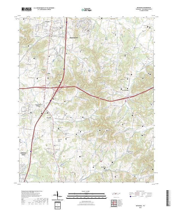
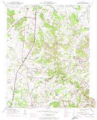
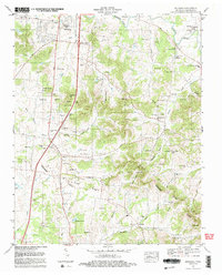
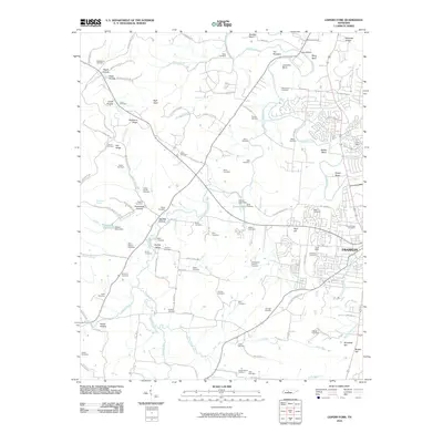
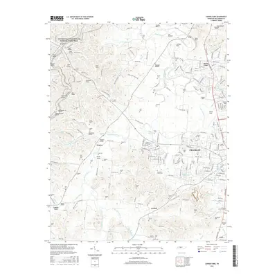
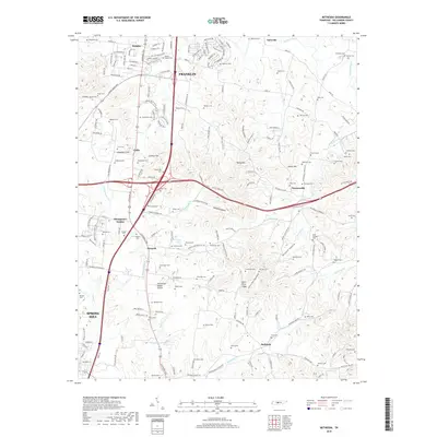
2022 Map of Bethesda
USGS Topo · Published 2022About this map
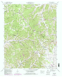
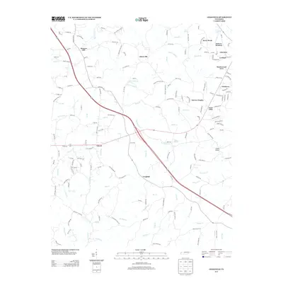
Bethesda and the surrounding Williamson County landscape are defined by a high density of small family and community burial grounds, illustrating the deep-rooted genealogical history of middle Tennessee. The area is physically divided by the Tennessee Valley Divide and the prominent Duck River Ridge, which separate the drainage of the Harpeth River from the south. The settlement pattern follows the historic Lewisburg Pike and Peytonsville Rd, connecting established communities like Thompson's Station and Peytonsville. These roads trace the contours of the land, navigating around elevations such as Lookout Hill and Chambers Hill. The numerous cemeteries, including Haleacre Cem, Gosey Cem, and the Bethesda Methodist Church Cem, serve as spatial markers of long-held family lands. This 2022 survey captures the contemporary road network, including the Goose Creek Byp, while still honoring the traditional landmarks and hollows that have shaped the region's character for generations.
Find a feature on this map
90 named features on this map. Tap any name to fly to it.
Don’t see what you’re looking for? This feature index may not catch every label — zoom into the map to look around manually.
Map Details
Editions of this 2022 Bethesda Map
This is the sole edition of this map. No revisions or reprints were ever made.
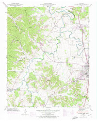
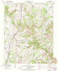
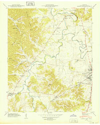
Historical Maps of Franklin Through Time
37 maps found
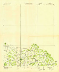
1936 Bethesda
Williamson County, TN
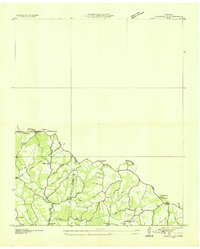
1936 Craigfield
Williamson County, TN
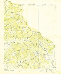
1936 Theta
Williamson County, TN
1946 Bethesda
Williamson County, TN
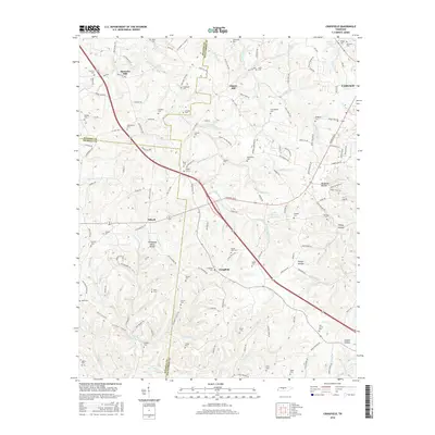
1946 Leipers Fork
Williamson County, TN
1949 Bethesda
Williamson County, TN
1949 Leipers Fork
Williamson County, TN
1951 Theta
Williamson County, TN
1953 Craigfield
Williamson County, TN
1957 College Grove
Williamson County, TN
1981 Leipers Fork
Williamson County, TN
1982 Bethesda
Williamson County, TN
2010 Bethesda
Williamson County, TN
2010 College Grove
Williamson County, TN
2010 Craigfield
Williamson County, TN
2010 Leipers Fork
Williamson County, TN
2010 Theta
Williamson County, TN
2013 Bethesda
Williamson County, TN
2013 College Grove
Williamson County, TN
2013 Craigfield
Williamson County, TN
2013 Leipers Fork
Williamson County, TN
2013 Theta
Williamson County, TN
2016 Bethesda
Williamson County, TN
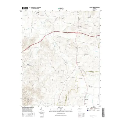
2016 College Grove
Williamson County, TN
2016 Craigfield
Williamson County, TN
2016 Leipers Fork
Williamson County, TN
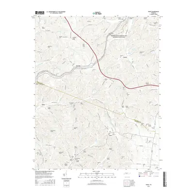
2016 Theta
Williamson County, TN
2019 Bethesda
Williamson County, TN
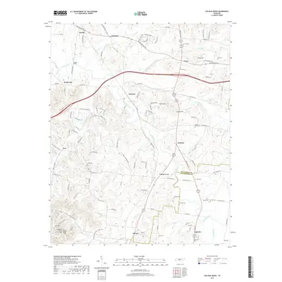
2019 College Grove
Williamson County, TN
2019 Craigfield
Williamson County, TN
2019 Leipers Fork
Williamson County, TN

2019 Theta
Williamson County, TN
2022 Bethesda
Williamson County, TN
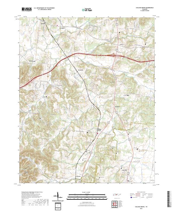
2022 College Grove
Williamson County, TN
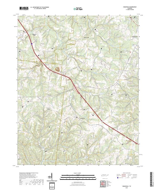
2022 Craigfield
Williamson County, TN
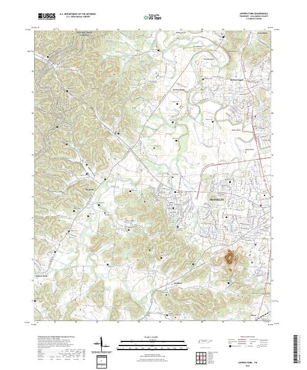
2022 Leipers Fork
Williamson County, TN
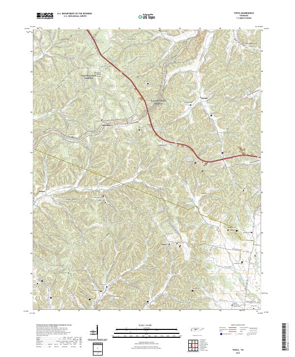
2022 Theta
Williamson County, TN