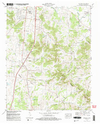
1982 Map of Bethesda
USGS Topo · Published 1983About this map
The Duck River Ridge and Divide form the topographic backbone of this landscape, separating the northward-flowing drainage of the Harpeth River from the Tennessee River Valley to the south. Historically centered on the settlements of Bethesda and Peytonsville, the area is defined by a dense concentration of family cemeteries—such as Hardeman Cem, Martin Hughes Cem, and Shuemate Cem—that reflect generations of local settlement patterns. This 1980s-era snapshot captures the region before significant suburban expansion, showing a transition toward modern institutional development with the appearance of Fred J Page High School and the Midview Community Center. The terrain is characterized by a series of hollows, including Bennett Hollow and Johnson Hollow, which historically dictated the winding path of local roads and the placement of country churches like Harpeth Valley Chapel and Bethesda Ch.
Find a feature on this map
82 named features on this map. Tap any name to fly to it.
Don’t see what you’re looking for? This feature index may not catch every label — zoom into the map to look around manually.
Map Details
Editions of this 1982 Bethesda Map
2 editions found
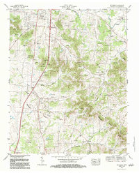
Other maps of this area

1909 · Franklin
USGS Topo · 1:62,500

1936 · Chapel Hill
USGS Topo · 1:24,000

1936 · Rally Hill
USGS Topo · 1:24,000

1936 · Spring Hill
USGS Topo · 1:24,000

1936 · Carters Creek
USGS Topo · 1:24,000

1936 · Bethesda
USGS Topo · 1:24,000

1941 · Carters Creek
USGS Topo · 1:24,000

1942 · Lebanon
USGS Topo · 1:100,000

1944 · Shelbyville
USGS Topo · 1:100,000

1946 · Leipers Fork
USGS Topo · 1:24,000