Loading...
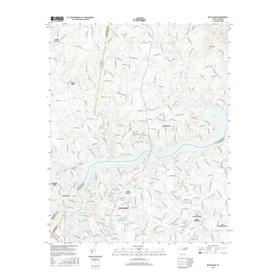
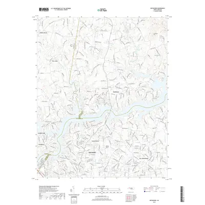
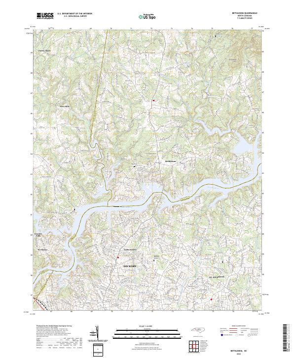
Loading map...1970 Map of Bethlehem
USGS Topo · Published 1973About this map
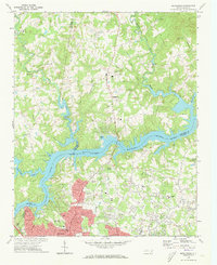
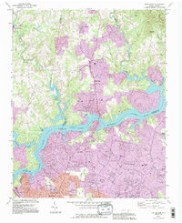
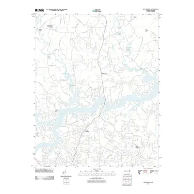
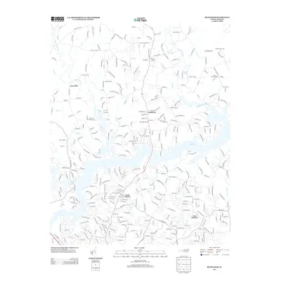
Lake Hickory and the Catawba River serve as the central geographic focus of this 1970s study, illustrating the mid-century suburban expansion of Hickory across the Alexander and Catawba county line. The landscape is dotted with numerous rural congregations and schools, including Isaac Creek Ch, St Matthews Ch, and St Stephens High Sch, which provide critical reference points for local genealogists.
Find a feature on this map
60 named features on this map. Tap any name to fly to it.
Don’t see what you’re looking for? This feature index may not catch every label — zoom into the map to look around manually.
Map Details
Date Portrayed1970
Date Published1973
PublisherU.S. Geological Survey
Map TypeTopographic
Scale1:24,000
Physical Dimensions22 x 26.9 inches
Editions of this 1970 Bethlehem Map
This is the sole edition of this map. No revisions or reprints were ever made.
Historical Maps of Hickory Through Time
7 maps found
Featured Locations
Source Details
SourceU.S. Geological Survey
CopyrightPublic Domain