
1970 Map of Newton
USGS Topo · Published 1973About this map
Newton and its northern neighbor Conover dominate this Catawba County landscape, showing a period of significant growth along the Southern railroad corridor. The development pattern follows the rails and highways, extending from the urban core of the county seat toward Claremont in the east. Local history is anchored by numerous rural congregations and educational sites, including Old St Pauls Ch, Bethlehem Ch, and Mt Olive Ch, alongside a dense network of neighborhood schools such as Thornton Sch and North Newton Sch. Industrial and civic infrastructure is prominently mapped, from the Filtration Plant and Sewage Disposal sites to the Radio Tower (WNNC). Beyond the built-up areas, the terrain is defined by a series of south-flowing waterways like Clark Creek, Lyle Creek, and Mull Creek, which historically shaped the agricultural and early industrial placement of settlements like Smyre and Witherspoon Crossroad.
Find a feature on this map
51 named features on this map. Tap any name to fly to it.
Don’t see what you’re looking for? This feature index may not catch every label — zoom into the map to look around manually.
Map Details
Editions of this 1970 Newton Map
This is the sole edition of this map. No revisions or reprints were ever made.
Other maps of this area

1895 · Hickory
USGS Topo · 1:125,000

1953 · Charlotte
USGS Topo · 1:250,000

1954 · Charlotte
USGS Topo · 1:250,000

1960 · Charlotte
USGS Topo · 1:250,000

1962 · Charlotte
USGS Topo · 1:250,000
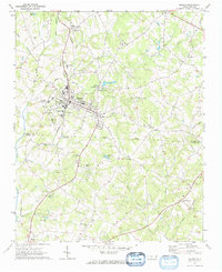
1970 · Maiden
USGS Topo · 1:24,000

1970 · Bethlehem
USGS Topo · 1:24,000
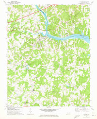
1970 · Catawba
USGS Topo · 1:24,000
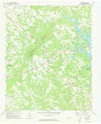
1970 · Denver
USGS Topo · 1:24,000
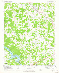
1970 · Stony Point
USGS Topo · 1:24,000