Loading...
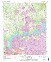
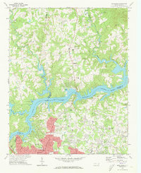
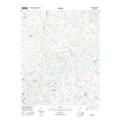
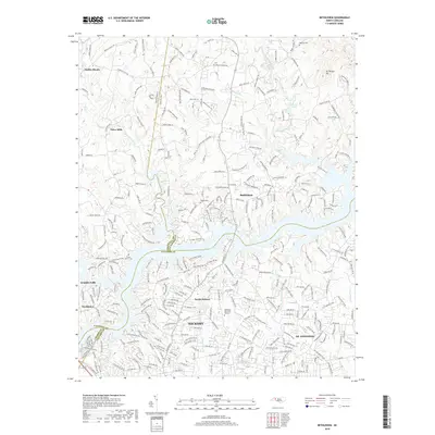
Loading map...1993 Map of Bethlehem
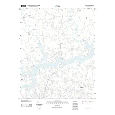
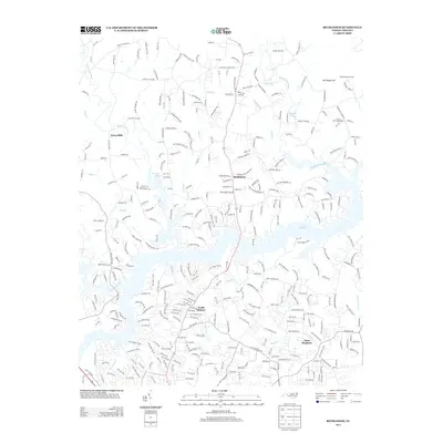
USGS Topo · Published 1996About this map
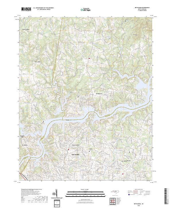
The Catawba River and the expansive waters of Lake Hickory anchor this survey of the Piedmont borderlands where Alexander, Caldwell, and Catawba counties converge. In the early 1990s, the landscape around the community of Bethlehem shows significant suburban growth, particularly south of the lake toward Hickory, where a dense network of roads like 35th Ave and Sandy Ridge Rd has emerged.
Find a feature on this map
59 named features on this map. Tap any name to fly to it.
Don’t see what you’re looking for? This feature index may not catch every label — zoom into the map to look around manually.
Map Details
Date Portrayed1993
Date Published1996
PublisherU.S. Geological Survey
Map TypeTopographic
Scale1:24,000
Physical Dimensions22 x 26.9 inches
Editions of this 1993 Bethlehem Map
This is the sole edition of this map. No revisions or reprints were ever made.
Historical Maps of Hickory Through Time
7 maps found
Featured Locations
Source Details
SourceU.S. Geological Survey
CopyrightPublic Domain