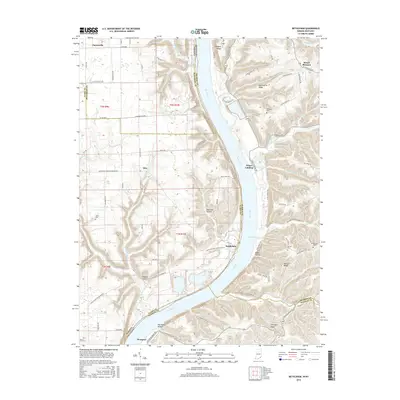
2016 Map of Bethlehem
USGS Topo · Published 2016About this map
The Ohio River carves a deep valley through this borderland between Indiana and Kentucky, defining the life and layout of riverfront settlements like Bethlehem and Westport. This mid-2010s survey reveals a landscape where high ridges and deep hollows dictate the passage of modern roads, such as Covington Ridge Rd and Flint Ridge Rd. On the Kentucky side, small clusters of homes at Wises Landing and Mount Pleasant sit atop the dissected plateau, while the Indiana shoreline is marked by the mouth of Camp Creek and Knob Creek. Genealogists will find several family burying grounds preserved on the heights, including Turner Cem and Mahoney Cem, alongside numerous named geographical features like Doolittle Hollow and Rodgers Ridge that reflect generations of local land use and naming traditions.
Find a feature on this map
100 named features on this map. Tap any name to fly to it.
Don’t see what you’re looking for? This feature index may not catch every label — zoom into the map to look around manually.
Map Details
Editions of this 2016 Bethlehem Map
This is the sole edition of this map. No revisions or reprints were ever made.
Other maps of this area

1905 · Prospect
USGS Topo · 1:62,500

1912 · Prospect
USGS Topo · 1:62,500

1932 · La Grange
USGS Topo · 1:62,500

1938 · Owen
USGS Topo · 1:24,000

1939 · Bethlehem
USGS Topo · 1:24,000

1939 · Madison West
USGS Topo · 1:24,000

1948 · Bethlehem
USGS Topo · 1:24,000

1948 · Madison West
USGS Topo · 1:24,000

1948 · Owen
USGS Topo · 1:24,000

1953 · Madison West
USGS Topo · 1:24,000