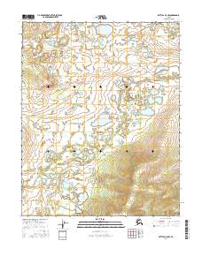
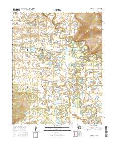
2016 Map of Bettles A-5 NW
USGS Topo · Published 2016About this map
Nolitna Cr winds through a vast network of wetlands and shallow lakes across this interior Alaskan landscape, north of the Arctic Circle. The terrain is characterized by intricate hydrologic patterns typical of the Yukon-Koyukuk region, where low-lying drainage basins are punctuated by isolated hills and ridges. The 2016 data illustrates a largely undeveloped wilderness within the Public Land Survey System divisions of t16n r23w, t16n r22w, t15n r23w, and t15n r22w. This topographic study reveals the natural drainage of the subarctic basin before significant human infrastructure reached this specific corridor of the Brooks Range foothills.
Find a feature on this map
5 named features on this map. Tap any name to fly to it.
Don’t see what you’re looking for? This feature index may not catch every label — zoom into the map to look around manually.
Map Details
Editions of this 2016 Bettles A-5 NW Map
This is the sole edition of this map. No revisions or reprints were ever made.
Other maps of this area

1951 · Bettles
USGS Topo · 1:250,000

1956 · Bettles
USGS Topo · 1:250,000
1970 · Bettles A-6
USGS Topo · 1:63,360
1970 · Bettles B-5
USGS Topo · 1:63,360
1970 · Bettles B-6
USGS Topo · 1:63,360
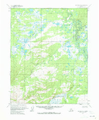
1970 · Bettles A-5
USGS Topo · 1:63,360
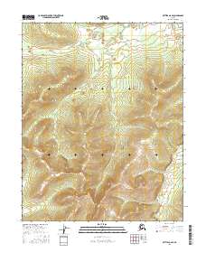
2016 · Bettles A-6 SE
USGS Topo · 1:25,000
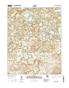
2016 · Bettles B-5 SE
USGS Topo · 1:25,000
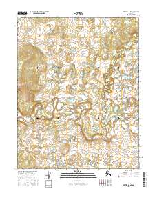
2016 · Bettles B-5 SW
USGS Topo · 1:25,000
2016 · Bettles A-5 NE
USGS Topo · 1:25,000