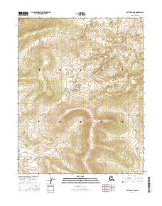
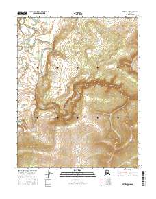
2016 Map of Bettles B-6 NE
USGS Topo · Published 2016About this map
The Yukon-Koyukuk region of Alaska is defined by its complex hydrography and varying elevation in this recent survey. The map document spans four primary townships including T19n R24w and T19n R23w in the north, as well as T18n R24w and T18n R23w in the south. The terrain is characterized by a dense network of wetlands and small water bodies that underscore the shifting nature of the Alaskan interior landscape. Compiled from data sources including the National Hydrography Dataset and the FWS National Wetlands Inventory, the map illustrates a landscape largely devoid of human structures or named settlements, reflecting the isolation of the Arctic. The lack of infrastructure highlights the reliance on natural features and survey markers for navigation within these vast public land survey system blocks.
Find a feature on this map
4 named features on this map. Tap any name to fly to it.
Don’t see what you’re looking for? This feature index may not catch every label — zoom into the map to look around manually.
Map Details
Editions of this 2016 Bettles B-6 NE Map
This is the sole edition of this map. No revisions or reprints were ever made.
Other maps of this area

1951 · Bettles
USGS Topo · 1:250,000

1956 · Bettles
USGS Topo · 1:250,000
1970 · Bettles B-5
USGS Topo · 1:63,360
1970 · Bettles B-6
USGS Topo · 1:63,360
1970 · Bettles C-5
USGS Topo · 1:63,360
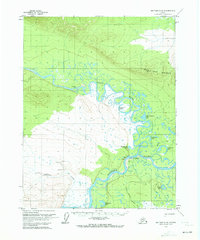
1970 · Bettles C-6
USGS Topo · 1:63,360
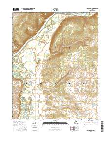
2016 · Bettles B-6 NW
USGS Topo · 1:25,000
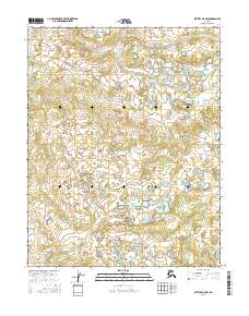
2016 · Bettles B-5 NW
USGS Topo · 1:25,000
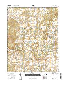
2016 · Bettles B-5 SW
USGS Topo · 1:25,000
2016 · Bettles B-6 SW
USGS Topo · 1:25,000