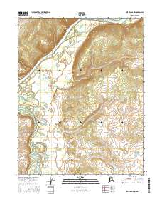
2016 Map of Bettles B-6 NW
USGS Topo · Published 2016About this map
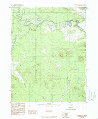
Koyukuk River and Kanuti River dominate this interior Alaskan landscape, documenting the complex riparian environment near the settlement of Alatna. The hydrography reveals the meandering paths of these major waterways as they carve through the terrain of the Yukon-Koyukuk region. This 2016 data by the U.S. Geological Survey provides a precise record of the river channels and seasonal wetlands that characterize the drainage patterns of the north. The map effectively captures the relationship between the elevated terrain at Alatna and the expansive river basins, offering a detailed snapshot of the wilderness geography before shifting environmental conditions further alter these shifting banks.
Find a feature on this map
7 named features on this map. Tap any name to fly to it.
Don’t see what you’re looking for? This feature index may not catch every label — zoom into the map to look around manually.
Map Details
Editions of this 2016 Bettles B-6 NW Map
This is the sole edition of this map. No revisions or reprints were ever made.
Other maps of this area

1951 · Hughes
USGS Topo · 1:250,000

1951 · Bettles
USGS Topo · 1:250,000

1956 · Hughes
USGS Topo · 1:250,000

1956 · Bettles
USGS Topo · 1:250,000

1964 · Hughes
USGS Topo · 1:250,000

1965 · Hughes
USGS Topo · 1:250,000
1970 · Bettles B-6
USGS Topo · 1:63,360
1970 · Bettles C-6
USGS Topo · 1:63,360
1986 · Hughes B-1
USGS Topo · 1:63,360
1986 · Hughes C-1
USGS Topo · 1:63,360