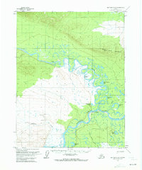
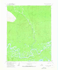
1970 Map of Bettles C-6
USGS Topo · Published 1973About this map
Allakaket and Alatna sit at the confluence of the Koyukuk River and the Alatna River, serving as a vital junction in the Alaskan interior during the 1970s. This survey reveals a landscape where transportation relied heavily on the seasonal Tanana-Allakaket Winter Trail and the local Landing Strip. The area's habitation is marked by small settlements and riverside structures like Oscars Cabin and Black Jack Cabin.
Find a feature on this map
25 named features on this map. Tap any name to fly to it.
Don’t see what you’re looking for? This feature index may not catch every label — zoom into the map to look around manually.
Map Details
Editions of this 1970 Bettles C-6 Map
This is the sole edition of this map. No revisions or reprints were ever made.
Other maps of this area

1951 · Hughes
USGS Topo · 1:250,000

1951 · Bettles
USGS Topo · 1:250,000

1956 · Hughes
USGS Topo · 1:250,000

1956 · Bettles
USGS Topo · 1:250,000

1964 · Hughes
USGS Topo · 1:250,000

1965 · Hughes
USGS Topo · 1:250,000
1970 · Bettles D-6
USGS Topo · 1:63,360
1970 · Bettles B-5
USGS Topo · 1:63,360
1970 · Bettles B-6
USGS Topo · 1:63,360
1970 · Bettles C-5
USGS Topo · 1:63,360