Loading...
Loading map...2024 Map of Beulah
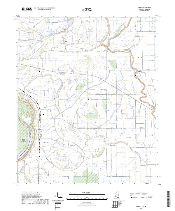
USGS Topo · Published 2024About this map
Beulah and its surrounding delta landscape are defined by an intricate network of slow-moving waterways and historical agrarian settlements. The community of Mound City lies along the meandering Laban Bayou, while the lower portion of the map is preserved within the Dahomey National Wildlife Refuge. The terrain is marked by numerous bayous, including Stokes Bayou, Half Moon Bayou, and the winding Bogue Phalia, reflecting the complex hydrology of the Mississippi floodplain.
Find a feature on this map
76 named features on this map. Tap any name to fly to it.
Don’t see what you’re looking for? This feature index may not catch every label — zoom into the map to look around manually.
Map Details
Date Portrayed2024
Date Published2024
PublisherU.S. Geological Survey
Map TypeTopographic
Scale1:24000
Physical Dimensions24 x 29 inches
Editions of this 2024 Beulah Map
This is the sole edition of this map. No revisions or reprints were ever made.
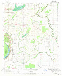
Historical Maps of Malvina Through Time
Featured Locations
Source Details
SourceU.S. Geological Survey
CopyrightPublic Domain