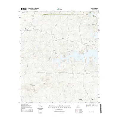
2014 Map of Beulah
USGS Topo · Published 2014About this map
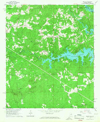
Bartletts Ferry Lake dominates the central eastern landscape of this Chambers and Lee County borderland, where the Alabama-Georgia state line cuts through the water. The surrounding terrain is defined by a dense network of small rural settlements including Beulah, Mechanicsville, and Halawaka, connected by a winding grid of county roads. Genealogists will find a significant density of family and community burial sites, such as the John Calhoun Tillery Cem, Lamb Cem, and the Pitts Chapel Cem. To the south, the landscape rises toward Flint Ridge while descending into the drainage of Mill Cr and Halawakee Creek. The map documents a predominantly residential and agricultural pattern, with larger communities like Pine Grove and Wacoochee Valley anchoring the northwest and southeast corners, respectively.
Find a feature on this map
111 named features on this map. Tap any name to fly to it.
Don’t see what you’re looking for? This feature index may not catch every label — zoom into the map to look around manually.
Map Details
Editions of this 2014 Beulah Map
This is the sole edition of this map. No revisions or reprints were ever made.
Other maps of this area

1907 · Opelika
USGS Topo · 1:125,000

1909 · Opelika
USGS Topo · 1:125,000

1955 · Phenix City
USGS Topo · 1:250,000

1957 · Phenix City
USGS Topo · 1:250,000

1958 · Phenix City
USGS Topo · 1:250,000
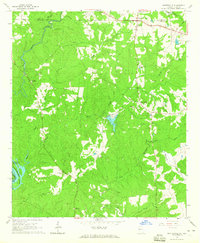
1964 · Whitesville
USGS Topo · 1:24,000

1964 · Lanett South
USGS Topo · 1:24,000
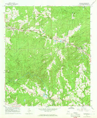
1965 · Bleecker
USGS Topo · 1:24,000
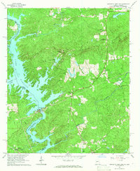
1965 · Bartletts Ferry Dam
USGS Topo · 1:24,000
1965 · Beulah
USGS Topo · 1:24,000