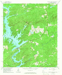
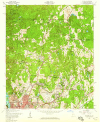
1965 Map of Bartletts Ferry Dam
USGS Topo · Published 1966About this map
Bartletts Ferry Dam anchors this landscape where the Chattahoochee River widens into the expansive Lake Harding along the Georgia-Alabama border. The 1960s terrain is defined by the prominent ridge of Pine Mountain, which stretches across the northern half of the quadrangle, punctuated by heights like Williams Mtn and German Mountain. This era captures a balance of hydroelectric industrialization and traditional rural community life.
Find a feature on this map
28 named features on this map. Tap any name to fly to it.
Don’t see what you’re looking for? This feature index may not catch every label — zoom into the map to look around manually.
Map Details
Editions of this 1965 Bartletts Ferry Dam Map
2 editions found
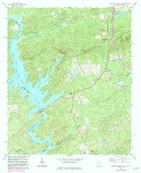
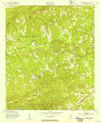
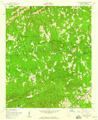
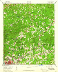
Other maps of this area

1907 · Talbotton
USGS Topo · 1:125,000

1907 · Opelika
USGS Topo · 1:125,000

1909 · Opelika
USGS Topo · 1:125,000

1950 · Fortson
USGS Topo · 1:24,000
1950 · Mulberry Grove
USGS Topo · 1:24,000

1950 · Ellerslie
USGS Topo · 1:62,500
1955 · Mulberry Grove
USGS Topo · 1:24,000
1955 · Fortson
USGS Topo · 1:24,000
1955 · Ellerslie
USGS Topo · 1:62,500

1955 · Phenix City
USGS Topo · 1:250,000