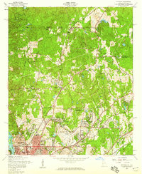
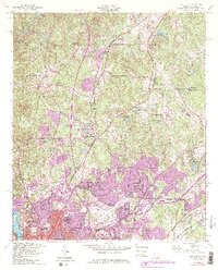
1955 Map of Fortson
USGS Topo · Published 1959About this map
Columbus and its expanding northern suburbs define the landscape of this 1950s survey, where the Chattahoochee River meets a complex network of creeks and small lakes. The area exhibits a transition from established rural communities like Fortson and Nankipooh to emerging residential developments such as Green Island Hills and Lincoln Hills. The infrastructure of the mid-century South is evident in the path of the Southern Railroad and the Central of Georgia Railroad, which cut through the terrain alongside regional hubs like the Muscogee County Airport. Small-town life is anchored by landmarks such as Double Churches and the Camp McKenzie Boy Scout Camp, while older family and community ties are preserved at the Pierce Chapel Cemetery and Mount Gilead Church. The map captures the suburbanization of Muscogee County as neighborhood-scale landmarks like Beallwood School and Caroline Park appear alongside traditional landmarks.
Find a feature on this map
84 named features on this map. Tap any name to fly to it.
Don’t see what you’re looking for? This feature index may not catch every label — zoom into the map to look around manually.
Map Details
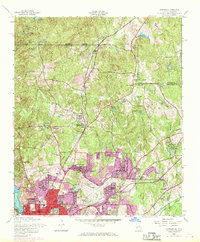
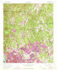
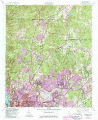
Editions of this 1955 Fortson Map
5 editions found
Other maps of this area

1907 · Talbotton
USGS Topo · 1:125,000

1907 · Opelika
USGS Topo · 1:125,000

1908 · Columbus
USGS Topo · 1:62,500

1909 · Opelika
USGS Topo · 1:125,000

1914 · Seale
USGS Topo · 1:62,500

1929 · Columbus
USGS Topo · 1:48,000

1947 · Columbus
USGS Topo · 1:62,500

1949 · Midland
USGS Topo · 1:24,000

1949 · Ochillee
USGS Topo · 1:24,000

1949 · Columbus
USGS Topo · 1:24,000