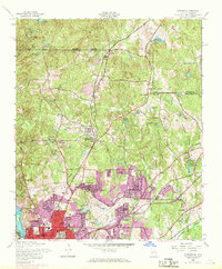
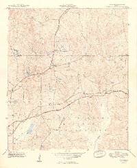
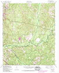
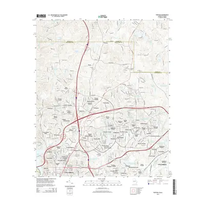
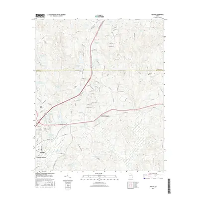
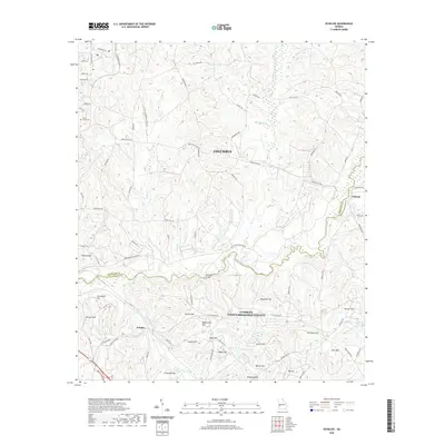
1955 Map of Fortson
USGS Topo · Published 1970About this map
Columbus expands northward into the surrounding hills of Muscogee County on this map, which documents the urban-rural interface during the mid-20th century. The landscape is defined by its transition from the dense street grids of neighborhoods like Caroline Park and Cascade Hills to the more open, wooded terrain of Fortson and Nankipooh. Significant infrastructure serves the growing population, including the Metropolitan Airport and several academic institutions such as Double Churches School and Rosemont School.
Find a feature on this map
83 named features on this map. Tap any name to fly to it.
Don’t see what you’re looking for? This feature index may not catch every label — zoom into the map to look around manually.
Map Details
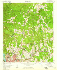
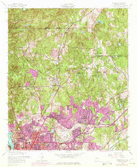
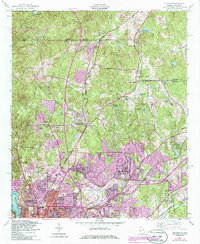
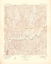
Editions of this 1955 Fortson Map
5 editions found
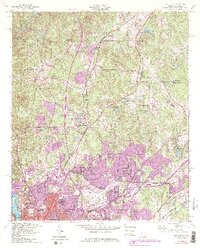
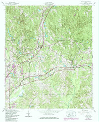
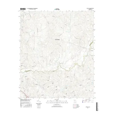
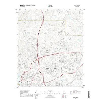
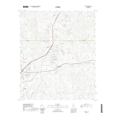
Historical Maps of Columbus Through Time
21 maps found
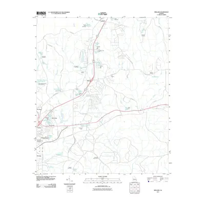
1949 Midland
Muscogee County, GA
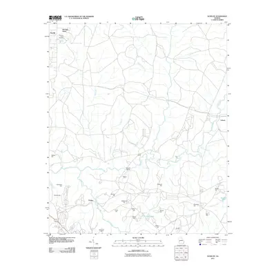
1949 Ochillee
Muscogee County, GA

1950 Fortson
Muscogee County, GA
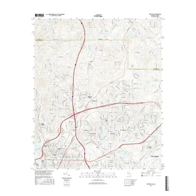
1955 Fortson
Muscogee County, GA
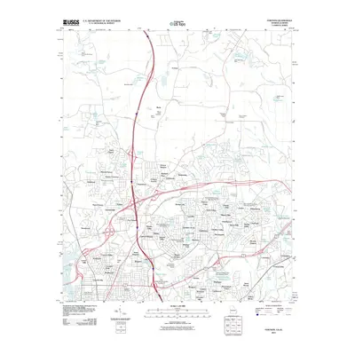
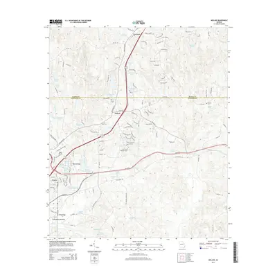
1955 Midland
Muscogee County, GA
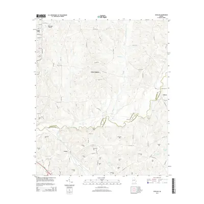
1955 Ochillee
Muscogee County, GA
2011 Fortson
Muscogee County, GA
2011 Midland
Muscogee County, GA
2011 Ochillee
Muscogee County, GA
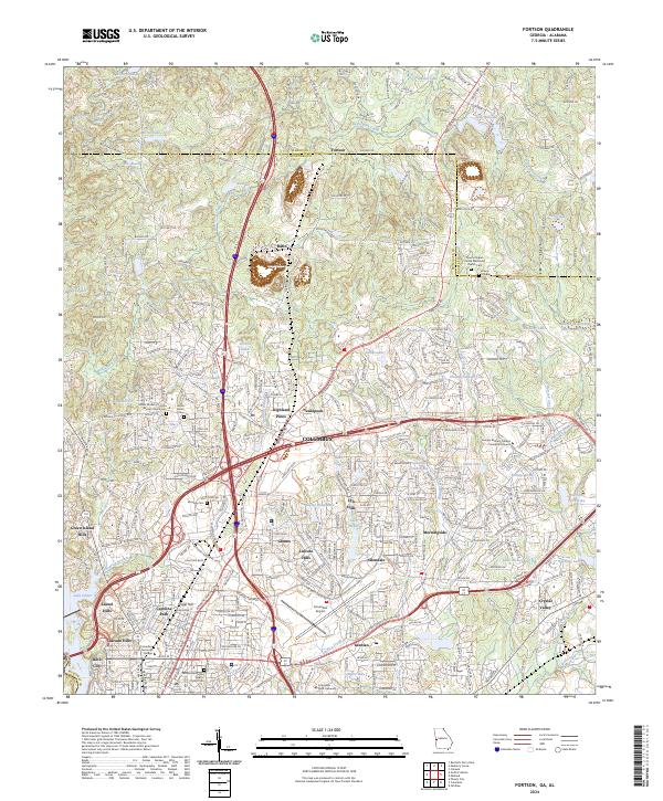
2014 Fortson
Muscogee County, GA
2014 Midland
Muscogee County, GA
2014 Ochillee
Muscogee County, GA
2017 Fortson
Muscogee County, GA
2017 Midland
Muscogee County, GA
2017 Ochillee
Muscogee County, GA
2020 Fortson
Muscogee County, GA
2020 Midland
Muscogee County, GA
2020 Ochillee
Muscogee County, GA
2024 Fortson
Muscogee County, GA
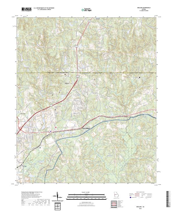
2024 Midland
Muscogee County, GA
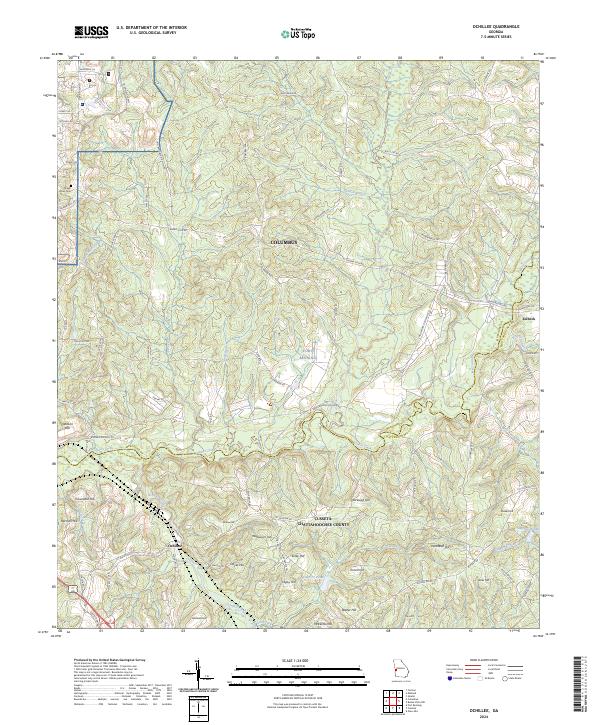
2024 Ochillee
Muscogee County, GA