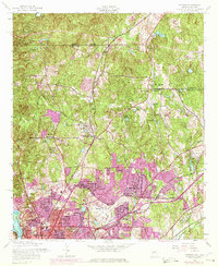
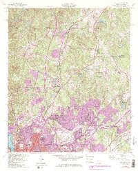
1955 Map of Fortson
USGS Topo · Published 1975About this map
Chattahoochee River defines the western edge of this territory, where the borders of Harris and Muscogee counties meet. The landscape reflects a mid-century transition from rural church-centered communities to expanding suburban neighborhoods north of Columbus. In the 1950s, established crossroads like Fortson and Pierce Chapel anchored the northern reach, while closer to the city, areas like Gentian and Caroline Park were becoming densely settled. The Metropolitan Airport and industrial sites like the Gas Pumping Station signal the area's modernization during the post-war era.
Find a feature on this map
55 named features on this map. Tap any name to fly to it.
Don’t see what you’re looking for? This feature index may not catch every label — zoom into the map to look around manually.
Map Details
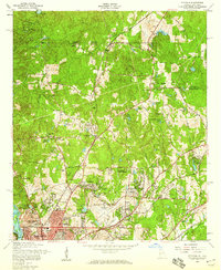
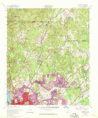
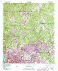
Editions of this 1955 Fortson Map
5 editions found
Other maps of this area

1907 · Talbotton
USGS Topo · 1:125,000

1907 · Opelika
USGS Topo · 1:125,000

1908 · Columbus
USGS Topo · 1:62,500

1909 · Opelika
USGS Topo · 1:125,000

1914 · Seale
USGS Topo · 1:62,500

1929 · Columbus
USGS Topo · 1:48,000

1947 · Columbus
USGS Topo · 1:62,500

1949 · Midland
USGS Topo · 1:24,000

1949 · Ochillee
USGS Topo · 1:24,000

1949 · Columbus
USGS Topo · 1:24,000