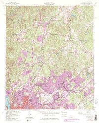
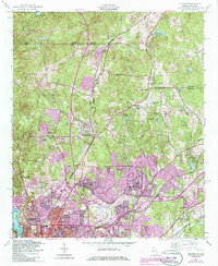
1955 Map of Fortson
USGS Topo · Published 1986About this map
The Chattahoochee River defines the western edge of this mid-century landscape, where the growing footprint of northern Columbus meets the rural communities of Muscogee and Harris counties. The area is characterized by a transition from suburban expansion near Metropolitan Airport to a rolling landscape dotted with family-named lakes and country crossroads. Established landmarks like Pierce Chapel, the Double Churches School, and Mount Zion Cemetery reflect the long-standing social fabric of settlements like Fortson and Nankipooh. Significant industrial and infrastructure elements, such as the Southern railway line and a prominent Pipeline, underscore the region's mid-century development. Post-war residential growth is evident in the burgeoning neighborhoods of Highland Pines, Glenns, and Allendale, highlighting the transformation of former timber or agricultural land into a modern metropolitan periphery.
Find a feature on this map
60 named features on this map. Tap any name to fly to it.
Don’t see what you’re looking for? This feature index may not catch every label — zoom into the map to look around manually.
Map Details
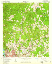
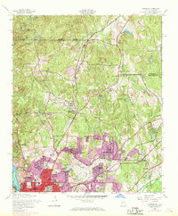
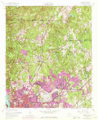
Editions of this 1955 Fortson Map
5 editions found
Other maps of this area

1907 · Talbotton
USGS Topo · 1:125,000

1907 · Opelika
USGS Topo · 1:125,000

1908 · Columbus
USGS Topo · 1:62,500

1909 · Opelika
USGS Topo · 1:125,000

1914 · Seale
USGS Topo · 1:62,500

1929 · Columbus
USGS Topo · 1:48,000

1947 · Columbus
USGS Topo · 1:62,500

1949 · Midland
USGS Topo · 1:24,000

1949 · Ochillee
USGS Topo · 1:24,000

1949 · Columbus
USGS Topo · 1:24,000