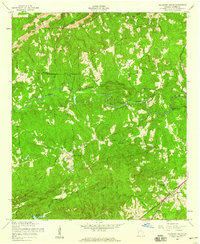
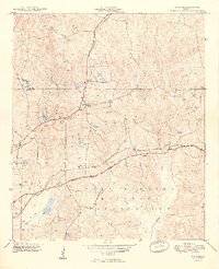
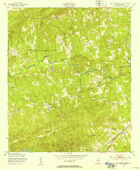
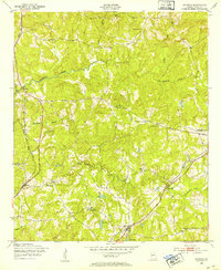
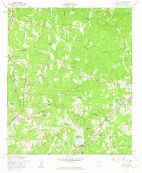
1955 Map of Mulberry Grove
USGS Topo · Published 1959About this map
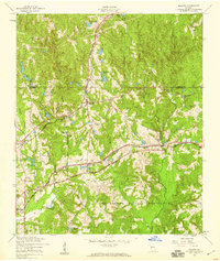
Mulberry Creek winds through the heart of Harris County, Georgia, serving as the primary drainage for this mid-century rural landscape. The map reveals a community defined by its spiritual and agricultural centers, with prominent sites like Mt Moriah Ch and Macedonia Ch anchoring the northern reaches, while Mulberry Grove and Binghams Chapel serve as focal points further south. The presence of Hudson Mill Rapids on the creek suggests a history of localized water-powered industry, transitioning into an era where road and rail became the dominant conduits of trade.
Find a feature on this map
20 named features on this map. Tap any name to fly to it.
Don’t see what you’re looking for? This feature index may not catch every label — zoom into the map to look around manually.
Map Details
Editions of this 1955 Mulberry Grove Map
4 editions found
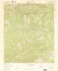
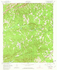
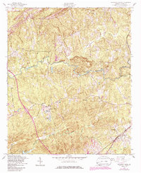
Other maps of this area

1907 · Talbotton
USGS Topo · 1:125,000

1907 · Opelika
USGS Topo · 1:125,000

1909 · Opelika
USGS Topo · 1:125,000
1949 · Midland
USGS Topo · 1:24,000

1950 · Fortson
USGS Topo · 1:24,000
1950 · Mulberry Grove
USGS Topo · 1:24,000
1950 · Cataula
USGS Topo · 1:24,000

1950 · Ellerslie
USGS Topo · 1:62,500
1955 · Cataula
USGS Topo · 1:24,000
1955 · Midland
USGS Topo · 1:24,000