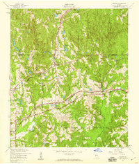
1955 Map of Midland
USGS Topo · Published 1959About this map
Midland stands as a central rail junction in this mid-century survey of the Muscogee and Harris county line, where the Southern and Central Of Georgia railroads intersect. The landscape is defined by its transition from small rural communities to the expansive north-western boundary of the Fort Benning Military Reservation. Local life is anchored by family and community landmarks like the Lynch Road Sch, Pitts Chapel, and the Locust Hill Ch, showing a typical Georgia Piedmont settlement pattern of the era. Water resources are plentiful, with Bull Creek and numerous man-made features such as Britton Ponds and Lake Pines dotting the terrain. The presence of a Public Work Camp near the rail lines and a Water Pumping Sta indicates the infrastructure supporting the area's growth and the military facility's operations during the mid-1950s.
Find a feature on this map
32 named features on this map. Tap any name to fly to it.
Don’t see what you’re looking for? This feature index may not catch every label — zoom into the map to look around manually.
Map Details
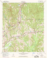
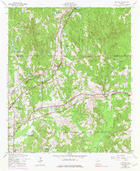
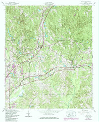
Editions of this 1955 Midland Map
4 editions found
Other maps of this area

1907 · Talbotton
USGS Topo · 1:125,000

1908 · Columbus
USGS Topo · 1:62,500

1929 · Columbus
USGS Topo · 1:48,000

1947 · Columbus
USGS Topo · 1:62,500

1949 · Midland
USGS Topo · 1:24,000

1949 · Upatoi
USGS Topo · 1:24,000

1949 · Ochillee
USGS Topo · 1:24,000

1949 · Buena Vista NW
USGS Topo · 1:24,000

1949 · Columbus
USGS Topo · 1:24,000

1950 · Fortson
USGS Topo · 1:24,000