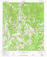
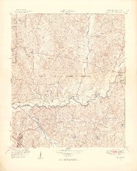
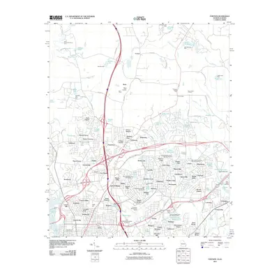
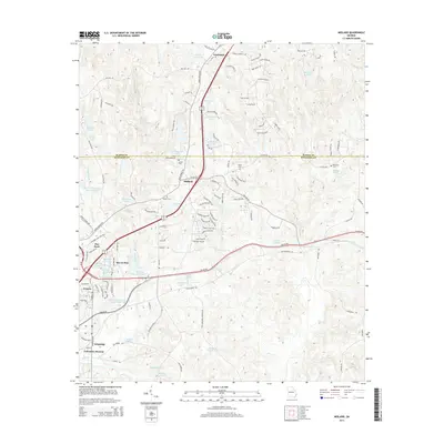
1955 Map of Midland
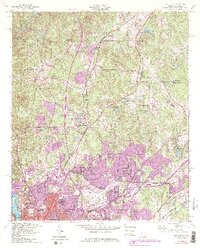
USGS Topo · Published 1983About this map
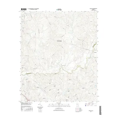
The settlement of Midland sits at the northern edge of the Fort Benning Military Reservation in this mid-century survey of the Muscogee and Harris county line. The landscape is defined by the crossing of the Southern and Central of Georgia railroads, which facilitated local transport and industry. Community life is evident through numerous rural landmarks, including the Lynch Road Sch, Locust Hill Ch, and several family burial sites like Jenkin Cem and Russell Cem. Water resources are plentiful throughout the undulating terrain, from larger bodies like Lake Pines and Spring Head Lake to the meandering courses of Bull Creek and Randall Creek. West of the primary rail line, the small communities of Flat Rock and Schatulga appear alongside a network of roads like Georgia 315, illustrating the early post-war development of the Georgia countryside before significant suburban expansion.
Find a feature on this map
32 named features on this map. Tap any name to fly to it.
Don’t see what you’re looking for? This feature index may not catch every label — zoom into the map to look around manually.
Map Details
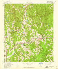
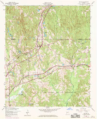
Editions of this 1955 Midland Map
4 editions found
Historical Maps of Columbus Through Time
21 maps found
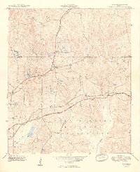
1949 Midland
Muscogee County, GA
1949 Ochillee
Muscogee County, GA

1950 Fortson
Muscogee County, GA
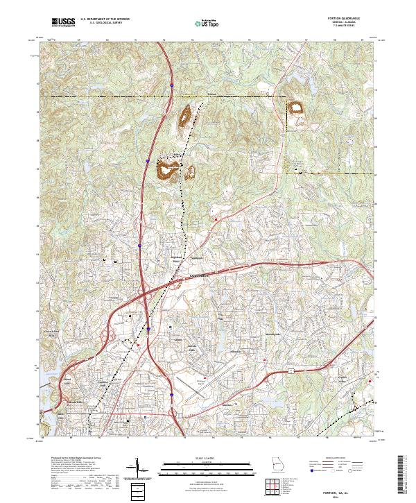
1955 Fortson
Muscogee County, GA
1955 Midland
Muscogee County, GA
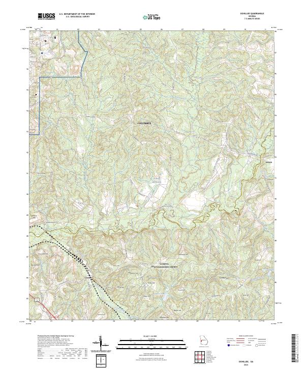
1955 Ochillee
Muscogee County, GA
2011 Fortson
Muscogee County, GA
2011 Midland
Muscogee County, GA
2011 Ochillee
Muscogee County, GA
2014 Fortson
Muscogee County, GA
2014 Midland
Muscogee County, GA
2014 Ochillee
Muscogee County, GA
2017 Fortson
Muscogee County, GA
2017 Midland
Muscogee County, GA
2017 Ochillee
Muscogee County, GA
2020 Fortson
Muscogee County, GA
2020 Midland
Muscogee County, GA
2020 Ochillee
Muscogee County, GA
2024 Fortson
Muscogee County, GA
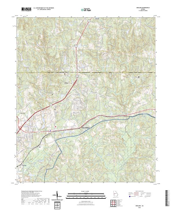
2024 Midland
Muscogee County, GA
2024 Ochillee
Muscogee County, GA