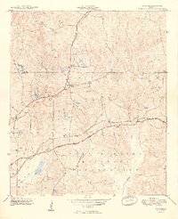
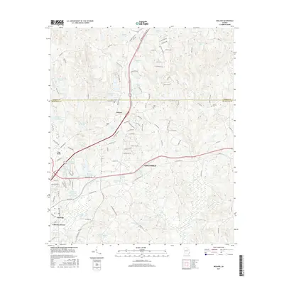
1955 Map of Midland
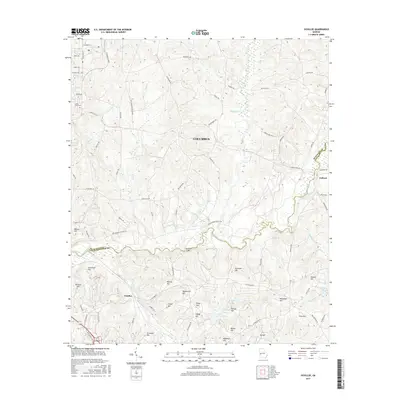
USGS Topo · Published 1986About this map
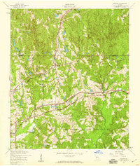
Midland sits at the heart of this mid-century landscape where the agricultural legacy of Muscogee County meets growing industrial and military footprints. The Central of Georgia and Southern railroads intersect nearby, illustrating the area's importance as a transportation hub before the modern expansion of Columbus. Local life is centered around community landmarks such as Mt Commodore Ch, Pitts Chapel, and the Lynch Road School.
Find a feature on this map
29 named features on this map. Tap any name to fly to it.
Don’t see what you’re looking for? This feature index may not catch every label — zoom into the map to look around manually.
Map Details
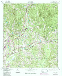
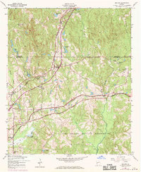
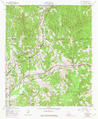
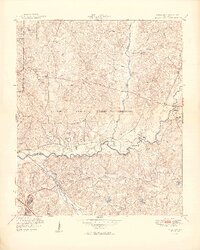
Editions of this 1955 Midland Map
4 editions found
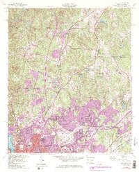
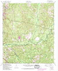
Historical Maps of Columbus Through Time
21 maps found
1949 Midland
Muscogee County, GA
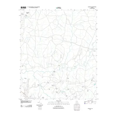
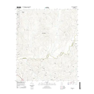
1949 Ochillee
Muscogee County, GA

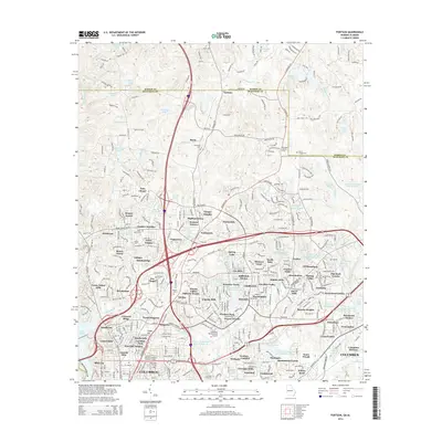
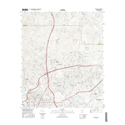
1950 Fortson
Muscogee County, GA
1955 Fortson
Muscogee County, GA
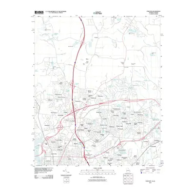
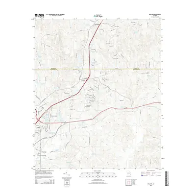
1955 Midland
Muscogee County, GA
1955 Ochillee
Muscogee County, GA
2011 Fortson
Muscogee County, GA
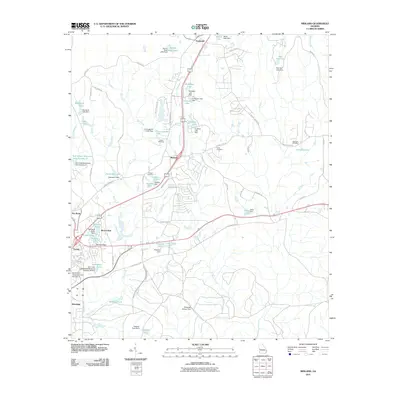
2011 Midland
Muscogee County, GA
2011 Ochillee
Muscogee County, GA
2014 Fortson
Muscogee County, GA
2014 Midland
Muscogee County, GA
2014 Ochillee
Muscogee County, GA
2017 Fortson
Muscogee County, GA
2017 Midland
Muscogee County, GA
2017 Ochillee
Muscogee County, GA
2020 Fortson
Muscogee County, GA
2020 Midland
Muscogee County, GA
2020 Ochillee
Muscogee County, GA
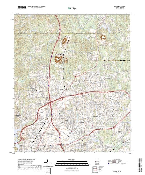
2024 Fortson
Muscogee County, GA
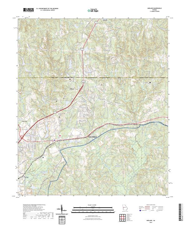
2024 Midland
Muscogee County, GA
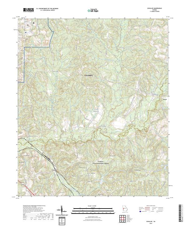
2024 Ochillee
Muscogee County, GA