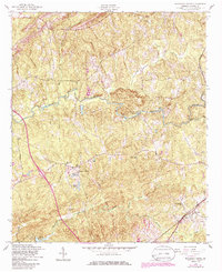
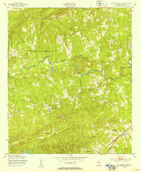
1955 Map of Mulberry Grove
USGS Topo · Published 1986About this map
Mulberry Creek and its many tributaries, including Little Mulberry Creek and Blue Spring Branch, carve through this Harris County landscape, which was primarily defined by rural church congregations and small-scale agriculture in the mid-1950s. The settlement of Mulberry Grove serves as a central point, surrounded by a high density of houses of worship that anchored the local community, such as Mt Olive Ch, Binghams Chapel, and Macedonia Ch.
Find a feature on this map
23 named features on this map. Tap any name to fly to it.
Don’t see what you’re looking for? This feature index may not catch every label — zoom into the map to look around manually.
Map Details
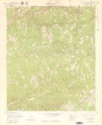
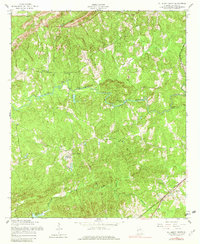
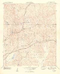
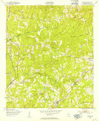
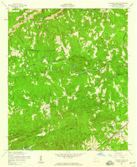
Editions of this 1955 Mulberry Grove Map
4 editions found
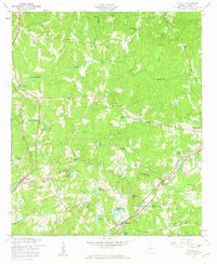
Other maps of this area

1907 · Talbotton
USGS Topo · 1:125,000

1907 · Opelika
USGS Topo · 1:125,000

1909 · Opelika
USGS Topo · 1:125,000
1949 · Midland
USGS Topo · 1:24,000

1950 · Fortson
USGS Topo · 1:24,000
1950 · Mulberry Grove
USGS Topo · 1:24,000
1950 · Cataula
USGS Topo · 1:24,000

1950 · Ellerslie
USGS Topo · 1:62,500
1955 · Mulberry Grove
USGS Topo · 1:24,000
1955 · Cataula
USGS Topo · 1:24,000