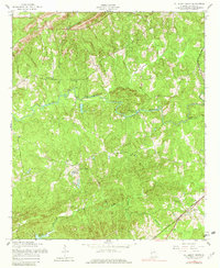
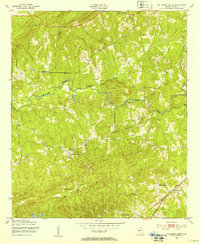
1955 Map of Mulberry Grove
USGS Topo · Published 1979About this map
Mulberry Creek winds through the heart of Harris County, Georgia, defining a landscape of small rural settlements and scattered houses of worship during the mid-1950s. The area is anchored by the community of Mulberry Grove, where Binghams Chapel stands near the James Lakes. Further east, the Central of Georgia railroad cuts through the terrain, serving the village of Rehobeth and the stop at Boy. The topography is shaped by numerous watercourses, including Standing Boy Creek and Ossahatchie Creek, which drain the wooded hills.
Find a feature on this map
22 named features on this map. Tap any name to fly to it.
Don’t see what you’re looking for? This feature index may not catch every label — zoom into the map to look around manually.
Map Details
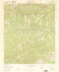
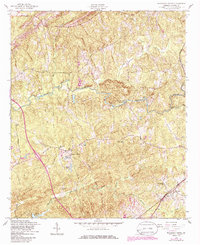
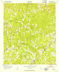
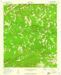
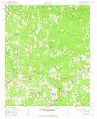
Editions of this 1955 Mulberry Grove Map
4 editions found
Other maps of this area

1907 · Talbotton
USGS Topo · 1:125,000

1907 · Opelika
USGS Topo · 1:125,000

1909 · Opelika
USGS Topo · 1:125,000
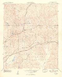
1949 · Midland
USGS Topo · 1:24,000

1950 · Fortson
USGS Topo · 1:24,000
1950 · Mulberry Grove
USGS Topo · 1:24,000
1950 · Cataula
USGS Topo · 1:24,000

1950 · Ellerslie
USGS Topo · 1:62,500
1955 · Mulberry Grove
USGS Topo · 1:24,000
1955 · Cataula
USGS Topo · 1:24,000