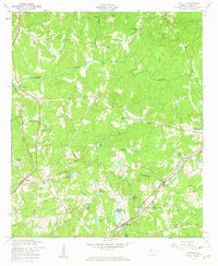
1955 Map of Cataula
USGS Topo · Published 1959About this map
Cataula and Ellerslie anchor this mid-century portrait of Harris County, where the agricultural landscape is defined by the winding course of Mulberry Creek and its many tributaries. The area's transport and utility infrastructure is prominent, featuring the Central of Georgia and Southern railroads alongside a network of telephone lines and a major pipeline. Local life centers on rural nodes like Turntime Crossroads and Kingsboro, with numerous community landmarks such as Clowers Ch and the Good Samaritan Home for Aged illustrating the social fabric of the era. The terrain is marked by a high density of private impoundments and named water bodies, including the uniquely named Lake Kick-Ann-Rick, Lake Kotcharapée, and Ginns Old Lake, reflecting the region's complex drainage and land use patterns during the 1950s.
Find a feature on this map
42 named features on this map. Tap any name to fly to it.
Don’t see what you’re looking for? This feature index may not catch every label — zoom into the map to look around manually.
Map Details
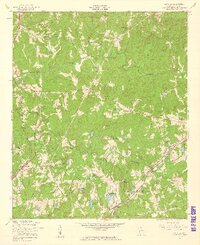
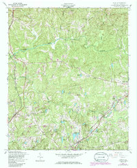
Editions of this 1955 Cataula Map
3 editions found
Other maps of this area

1907 · Talbotton
USGS Topo · 1:125,000

1934 · Warm Springs
USGS Topo · 1:62,500

1936 · Warm Springs
USGS Topo · 1:62,500

1949 · Midland
USGS Topo · 1:24,000

1949 · Upatoi
USGS Topo · 1:24,000

1950 · Fortson
USGS Topo · 1:24,000

1950 · Mulberry Grove
USGS Topo · 1:24,000

1950 · Waverly Hall
USGS Topo · 1:24,000

1950 · Cataula
USGS Topo · 1:24,000

1950 · Talbotton
USGS Topo · 1:62,500