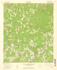
1955 Map of Cataula
USGS Topo · Published 1959About this map
Cataula and the surrounding Harris County countryside are mapped here during a period of steady mid-century growth along the regional rail lines. The landscape is defined by the ridge of Oak Mountain and the winding course of Mulberry Creek, which draws together numerous smaller drainages like Ossahatchie Creek and Dowell Creek. For local historians, the map identifies a dense network of social centers, including Cataula Sch, Cataula Cem, and several rural houses of worship such as St Lukes Ch and Clowers Ch.
Find a feature on this map
38 named features on this map. Tap any name to fly to it.
Don’t see what you’re looking for? This feature index may not catch every label — zoom into the map to look around manually.
Map Details
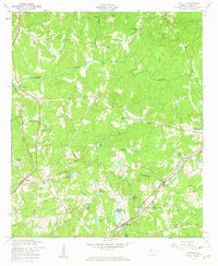
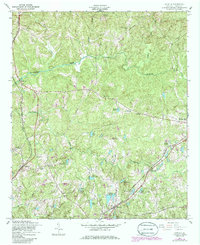
Editions of this 1955 Cataula Map
3 editions found
Other maps of this area

1907 · Talbotton
USGS Topo · 1:125,000

1934 · Warm Springs
USGS Topo · 1:62,500

1936 · Warm Springs
USGS Topo · 1:62,500

1949 · Midland
USGS Topo · 1:24,000

1949 · Upatoi
USGS Topo · 1:24,000

1950 · Fortson
USGS Topo · 1:24,000

1950 · Mulberry Grove
USGS Topo · 1:24,000

1950 · Waverly Hall
USGS Topo · 1:24,000

1950 · Cataula
USGS Topo · 1:24,000

1950 · Talbotton
USGS Topo · 1:62,500