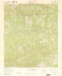
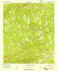
1955 Map of Mulberry Grove
USGS Topo · Published 1979About this map
Mulberry Grove serves as the focal point of this Harris County survey, which captures a rural Georgia landscape defined by established country churches and complex watercourses. The local spiritual life of the mid-1950s is mapped through landmarks such as Macedonia Ch, Mt Moriah Ch, and Binghams Chapel, alongside the Rehobeth Ch and adjacent Rehobeth Cem. These sites, often the only social centers for dispersed farming families, are scattered across a terrain drained by the winding Mulberry Creek and its many tributaries.
Find a feature on this map
20 named features on this map. Tap any name to fly to it.
Don’t see what you’re looking for? This feature index may not catch every label — zoom into the map to look around manually.
Map Details
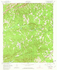
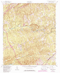
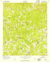
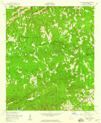
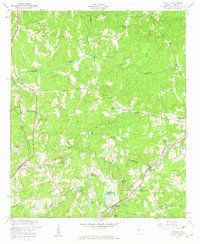
Editions of this 1955 Mulberry Grove Map
4 editions found
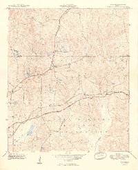
Other maps of this area

1907 · Talbotton
USGS Topo · 1:125,000

1907 · Opelika
USGS Topo · 1:125,000

1909 · Opelika
USGS Topo · 1:125,000
1949 · Midland
USGS Topo · 1:24,000

1950 · Fortson
USGS Topo · 1:24,000
1950 · Mulberry Grove
USGS Topo · 1:24,000
1950 · Cataula
USGS Topo · 1:24,000

1950 · Ellerslie
USGS Topo · 1:62,500
1955 · Mulberry Grove
USGS Topo · 1:24,000
1955 · Cataula
USGS Topo · 1:24,000