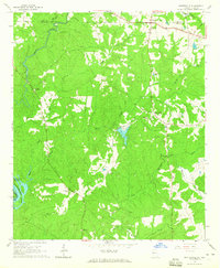
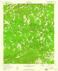
1964 Map of Whitesville
USGS Topo · Published 1965About this map
Whitesville serves as a central hub in this rural landscape, situated near the foothills of Oak Mountain. The terrain is deeply carved by several significant waterways, including the winding Chattahoochee River which forms the western boundary between Georgia and Alabama. Local life in the mid-1960s is anchored by dispersed rural landmarks such as Jones Crossroads and a network of community institutions like Union Ch and the Johnson Sch.
Find a feature on this map
27 named features on this map. Tap any name to fly to it.
Don’t see what you’re looking for? This feature index may not catch every label — zoom into the map to look around manually.
Map Details
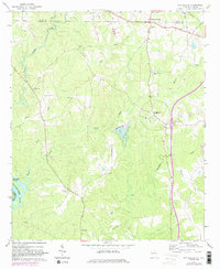
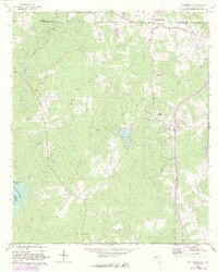
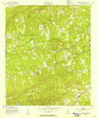
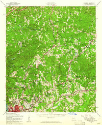
Editions of this 1964 Whitesville Map
3 editions found
Other maps of this area

1907 · Talbotton
USGS Topo · 1:125,000

1907 · Opelika
USGS Topo · 1:125,000

1909 · Opelika
USGS Topo · 1:125,000
1950 · Mulberry Grove
USGS Topo · 1:24,000

1950 · Ellerslie
USGS Topo · 1:62,500
1955 · Mulberry Grove
USGS Topo · 1:24,000
1955 · Ellerslie
USGS Topo · 1:62,500

1955 · Phenix City
USGS Topo · 1:250,000

1957 · Phenix City
USGS Topo · 1:250,000

1958 · Phenix City
USGS Topo · 1:250,000