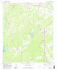
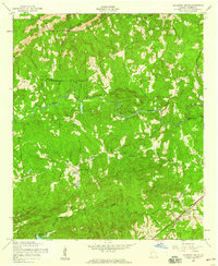
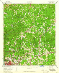
1964 Map of Whitesville
USGS Topo · Published 1983About this map
Whitesville and Jones Crossroads anchor this agricultural and wooded landscape along the Georgia and Alabama border during the mid-1960s. The terrain is defined by the Chattahoochee River, which forms the state line and separates Harris County from Chambers County, Alabama. To the west, Johnson Island sits in the river's flow, while the interior is dissected by numerous waterways including Flat Shoal Creek and House Creek. Family history and local heritage are well-preserved through a high density of rural cemeteries, such as Billingslea Cem, Hutchason Cem, and New Hope Cem. The presence of the Johnson Sch and churches like Union Ch suggests a close-knit community structure common to this era of the Deep South, where small settlements were linked by winding roads and the local topography of Oak Mountain.
Find a feature on this map
25 named features on this map. Tap any name to fly to it.
Don’t see what you’re looking for? This feature index may not catch every label — zoom into the map to look around manually.
Map Details
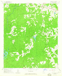
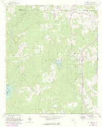
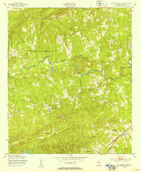
Editions of this 1964 Whitesville Map
3 editions found
Other maps of this area

1907 · Talbotton
USGS Topo · 1:125,000

1907 · Opelika
USGS Topo · 1:125,000

1909 · Opelika
USGS Topo · 1:125,000
1950 · Mulberry Grove
USGS Topo · 1:24,000

1950 · Ellerslie
USGS Topo · 1:62,500
1955 · Mulberry Grove
USGS Topo · 1:24,000
1955 · Ellerslie
USGS Topo · 1:62,500

1955 · Phenix City
USGS Topo · 1:250,000

1957 · Phenix City
USGS Topo · 1:250,000

1958 · Phenix City
USGS Topo · 1:250,000