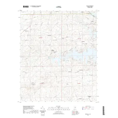
2020 Map of Beulah
USGS Topo · Published 2020About this map
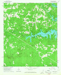
Bartletts Ferry Lake serves as a dominant central feature on this 2020 landscape, where the waters of Halawaka Creek and Haluwaka Creek gather along the Alabama-Georgia border. The terrain is defined by a dense network of country roads, including LaFayette Rd and W Point Pkwy, connecting small rural communities and historic crossroads. Genealogists will find a wealth of named burial sites scattered throughout the district, such as Beulah Cem, Pitts Chapel Cem, and the Mountain Springs Cemeteries near Flint Ridge. These sites, along with the County Line Baptist Church Cem, provide anchor points for family history research in a region where the transition between Chambers and Lee counties is marked by traditional settlements like Beulah, Mechanicsville, and Wacoochee Valley. The winding course of Osanippa Creek in the northeast further illustrates the complex drainage patterns that influenced early settlement and road placement.
Find a feature on this map
97 named features on this map. Tap any name to fly to it.
Don’t see what you’re looking for? This feature index may not catch every label — zoom into the map to look around manually.
Map Details
Editions of this 2020 Beulah Map
This is the sole edition of this map. No revisions or reprints were ever made.
Other maps of this area

1907 · Opelika
USGS Topo · 1:125,000

1909 · Opelika
USGS Topo · 1:125,000

1955 · Phenix City
USGS Topo · 1:250,000

1957 · Phenix City
USGS Topo · 1:250,000

1958 · Phenix City
USGS Topo · 1:250,000
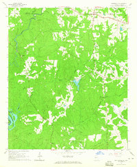
1964 · Whitesville
USGS Topo · 1:24,000

1964 · Lanett South
USGS Topo · 1:24,000
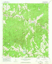
1965 · Bleecker
USGS Topo · 1:24,000
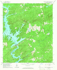
1965 · Bartletts Ferry Dam
USGS Topo · 1:24,000
1965 · Beulah
USGS Topo · 1:24,000