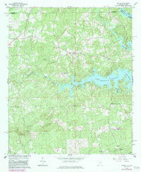
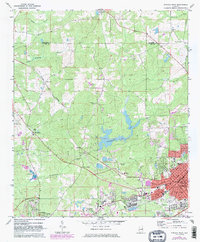
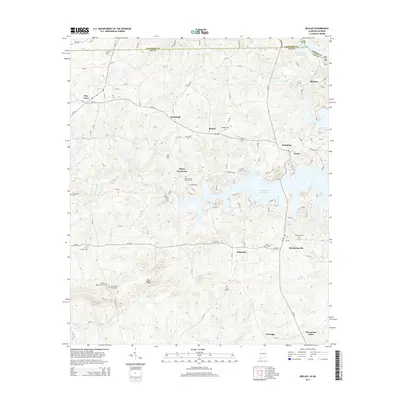
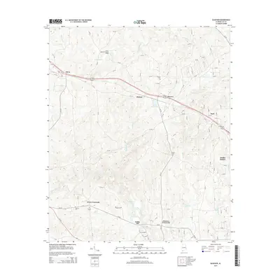
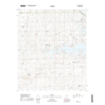
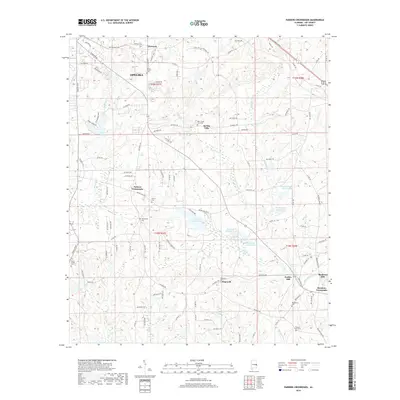
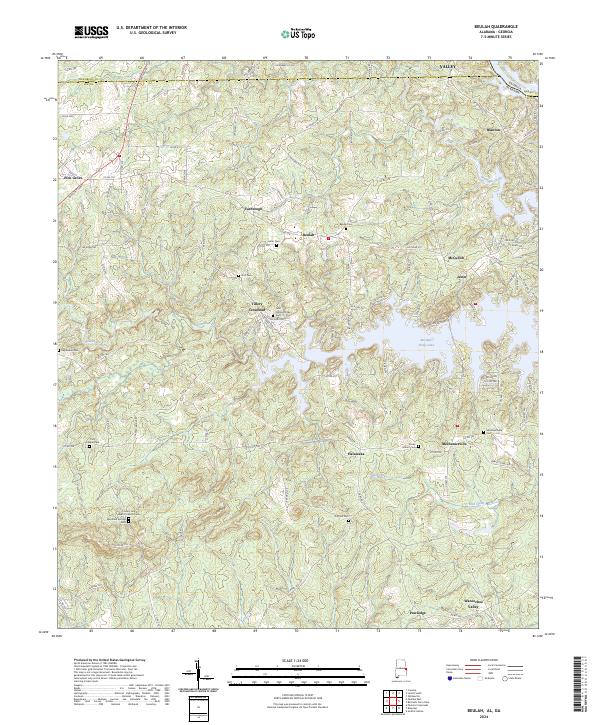
1965 Map of Beulah
USGS Topo · Published 1983About this map
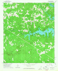
Lake Harding dominates the eastern edge of this Alabama-Georgia borderland, where the waters of the Chattahoochee River and Halawakee Creek meet. This mid-1960s landscape, later updated in the early 1980s, reveals a rural network of small communities and family landmarks. The area around Beulah and Wacoochee Valley is marked by numerous country churches, including Liberty Ch and Burrell Chapel, which served as local social anchors for generations. A notable Covered Bridge spans a tributary of Halawakee Creek, representing a surviving piece of older infrastructure amidst the changing topography. Further south, industry and recreation appear side-by-side, from the Quarry near Flint Ridge to a local Drag Strip. Genealogists can find several burial grounds, such as the Mountain Springs Cemeteries and Ebenezer Cem, providing key points for tracing local family roots across Lee and Chambers Counties.
Find a feature on this map
41 named features on this map. Tap any name to fly to it.
Don’t see what you’re looking for? This feature index may not catch every label — zoom into the map to look around manually.
Map Details
Editions of this 1965 Beulah Map
2 editions found
Historical Maps of Valley Through Time
30 maps found
1965 Beulah
Lee County, AL
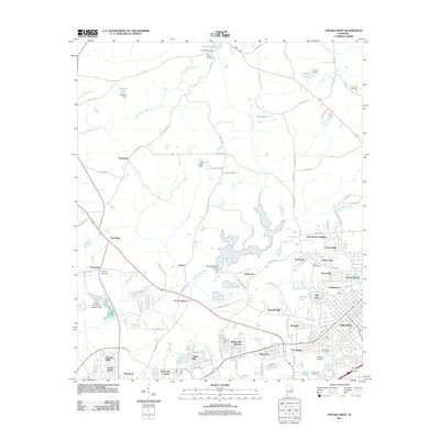
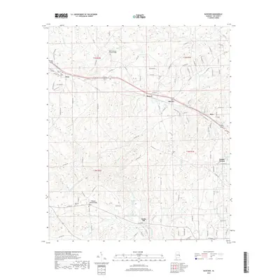
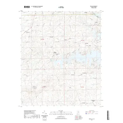
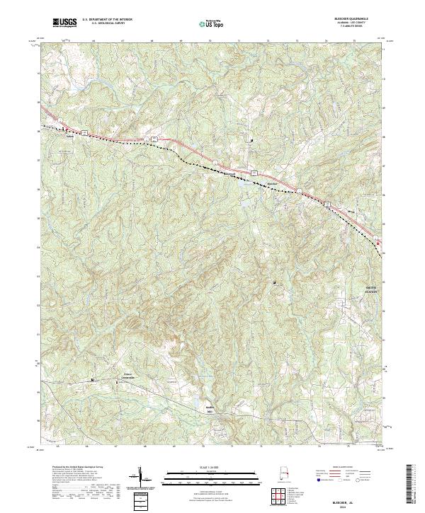
1965 Bleecker
Lee County, AL
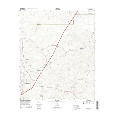
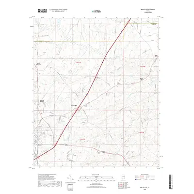
1970 Opelika East
Lee County, AL
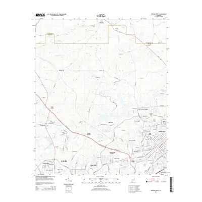
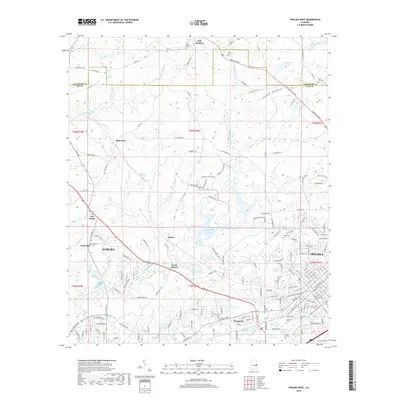
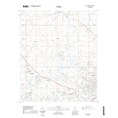
1971 Opelika West
Lee County, AL
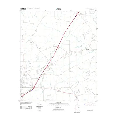
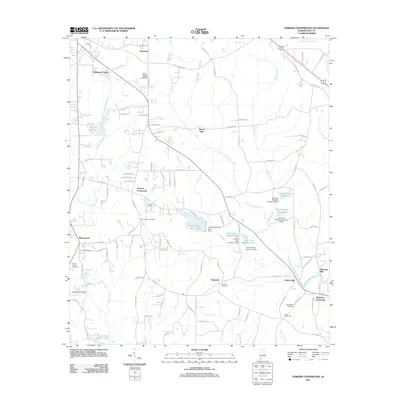
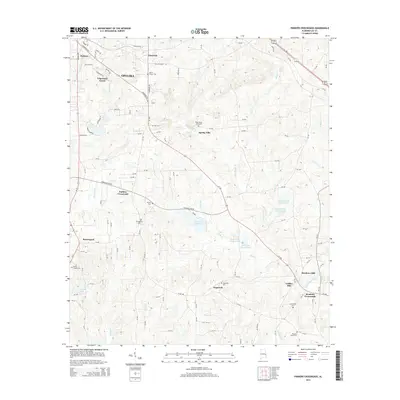
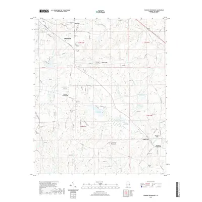
1971 Parkers Crossroads
Lee County, AL
2011 Beulah
Lee County, AL
2011 Bleecker
Lee County, AL
2011 Opelika East
Lee County, AL
2011 Opelika West
Lee County, AL
2011 Parkers Crossroads
Lee County, AL
2014 Beulah
Lee County, AL
2014 Bleecker
Lee County, AL
2014 Opelika East
Lee County, AL
2014 Opelika West
Lee County, AL
2014 Parkers Crossroads
Lee County, AL
2018 Beulah
Lee County, AL
2018 Bleecker
Lee County, AL
2018 Opelika East
Lee County, AL
2018 Opelika West
Lee County, AL
2018 Parkers Crossroads
Lee County, AL
2020 Beulah
Lee County, AL
2020 Bleecker
Lee County, AL
2020 Opelika East
Lee County, AL
2020 Opelika West
Lee County, AL
2020 Parkers Crossroads
Lee County, AL
2024 Beulah
Lee County, AL
2024 Bleecker
Lee County, AL
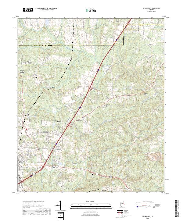
2024 Opelika East
Lee County, AL
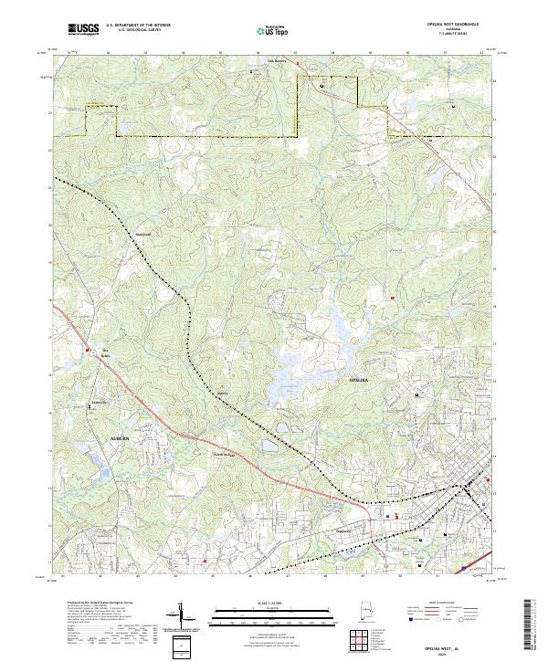
2024 Opelika West
Lee County, AL
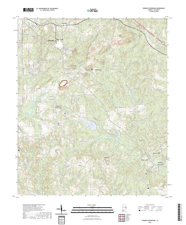
2024 Parkers Crossroads
Lee County, AL