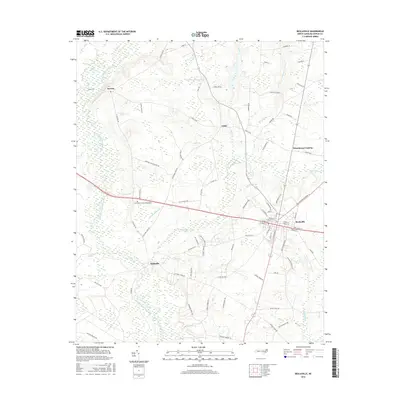
2016 Map of Beulaville
USGS Topo · Published 2016About this map
Beulaville serves as the primary hub of this eastern North Carolina landscape, where the grid of town streets like W Stanford St and N Railroad Ave meets the surrounding agricultural countryside. The topography is defined by the winding course of the Northeast Cape Fear River and its numerous tributaries, including Limestone Cr and Jumpand Run Br. These watercourses carve through low-lying areas like Goshen Swamp, creating a complex drainage network that has historically dictated the placement of settlements and roads. Small communities such as Hallsville, Cabin, and Sarecta are connected by a web of local routes, many bearing family names such as Miller Rd and Peggy Baker Ln. Significant landmarks including East Duplin Memorial Gardens and Sanderson Fish Pond reflect the local heritage and land use patterns of Duplin County during the early twenty-first century.
Find a feature on this map
82 named features on this map. Tap any name to fly to it.
Don’t see what you’re looking for? This feature index may not catch every label — zoom into the map to look around manually.
Map Details
Editions of this 2016 Beulaville Map
This is the sole edition of this map. No revisions or reprints were ever made.
Other maps of this area

1943 · Kenansville
USGS Topo · 1:62,500

1948 · Kenansville
USGS Topo · 1:62,500

1948 · Richlands
USGS Topo · 1:62,500

1953 · Rocky Mount
USGS Topo · 1:250,000

1953 · Beaufort
USGS Topo · 1:250,000

1954 · Rocky Mount
USGS Topo · 1:250,000

1954 · Beaufort
USGS Topo · 1:250,000

1957 · Seven Springs
USGS Topo · 1:62,500

1958 · Deep Run
USGS Topo · 1:62,500

1965 · Richlands
USGS Topo · 1:62,500