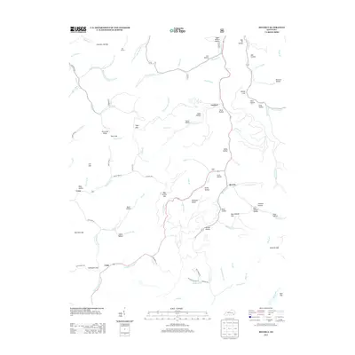
2013 Map of Beverly
USGS Topo · Published 2013About this map
Red Bird Cr and Phillips Fork define the drainage of this mountainous corner of Bell County, where small settlements like Beverly and Gardner occupy the narrow valley floors. The landscape is a dense network of hollows and gaps, reflecting a long history of topographic names such as Mill Hollow, Witch Hollow, and Bear Wallow Hollow. High points like Kentucky Ridge and the Bell Lookout provide vantage points over the creek systems. Local history is preserved in landmarks such as the Asher Cem and various gaps that historically served as passage between the steep ridges, including Slusher Gap, Paint Gap, and Turkeypen Gap. The map captures a contemporary look at these established communities, where state and local roads like State Hwy 2467 and Pigeon Fork Rd follow the natural contours of the stream beds.
Find a feature on this map
99 named features on this map. Tap any name to fly to it.
Don’t see what you’re looking for? This feature index may not catch every label — zoom into the map to look around manually.
Map Details
Editions of this 2013 Beverly Map
This is the sole edition of this map. No revisions or reprints were ever made.
Other maps of this area

1886 · Cumberland Gap
USGS Topo · 1:125,000

1887 · Jonesville
USGS Topo · 1:125,000

1888 · Cumberland Gap
USGS Topo · 1:125,000

1891 · Manchester
USGS Topo · 1:125,000

1891 · Cumberland Gap
USGS Topo · 1:125,000

1891 · Hazard
USGS Topo · 1:125,000

1891 · Jonesville
USGS Topo · 1:125,000

1903 · Harlan
USGS Topo · 1:48,000

1903 · Pineville
USGS Topo · 1:48,000

1916 · Harlan
USGS Topo · 1:48,000