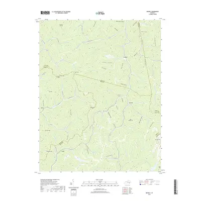
2019 Map of Beverly
USGS Topo · Published 2019About this map
Beverly and the winding course of Red Bird Creek anchor this study of the intersection of Bell, Clay, Leslie, and Knox Counties. The landscape is defined by the high elevations of Kentucky Ridge and a series of strategic mountain passes, including Sugar Gap, Paint Gap, and Bob Slusher Gap. These natural corridors historically dictated the movement of people and commerce through the Cumberland Plateau's intricate drainage systems.
Find a feature on this map
105 named features on this map. Tap any name to fly to it.
Don’t see what you’re looking for? This feature index may not catch every label — zoom into the map to look around manually.
Map Details
Editions of this 2019 Beverly Map
This is the sole edition of this map. No revisions or reprints were ever made.
Other maps of this area

1886 · Cumberland Gap
USGS Topo · 1:125,000

1887 · Jonesville
USGS Topo · 1:125,000

1888 · Cumberland Gap
USGS Topo · 1:125,000

1891 · Manchester
USGS Topo · 1:125,000

1891 · Cumberland Gap
USGS Topo · 1:125,000

1891 · Hazard
USGS Topo · 1:125,000

1891 · Jonesville
USGS Topo · 1:125,000

1903 · Harlan
USGS Topo · 1:48,000

1903 · Pineville
USGS Topo · 1:48,000

1916 · Harlan
USGS Topo · 1:48,000