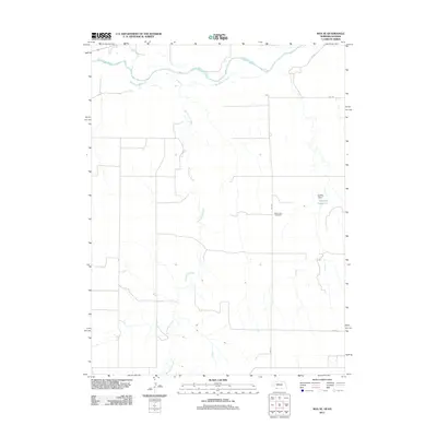
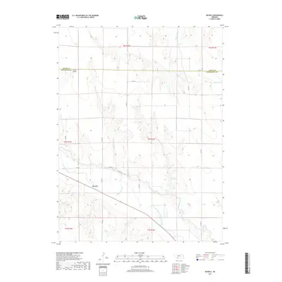
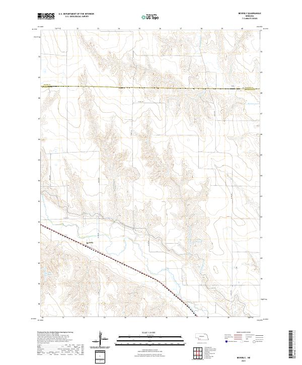
1973 Map of Beverly
USGS Topo · Published 1977About this map
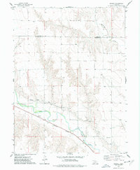
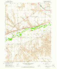
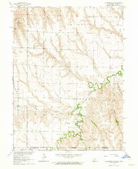
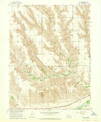
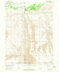
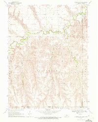
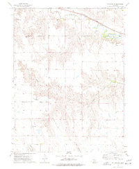
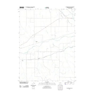
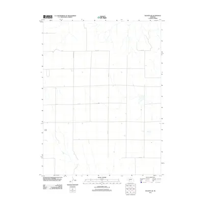
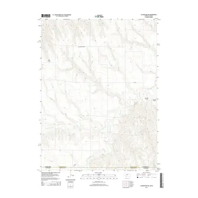
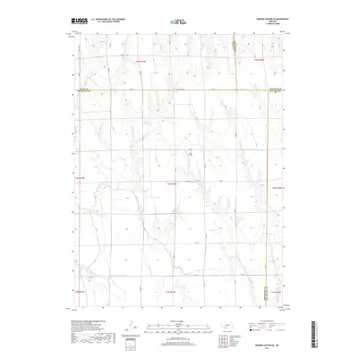
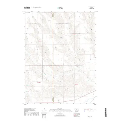
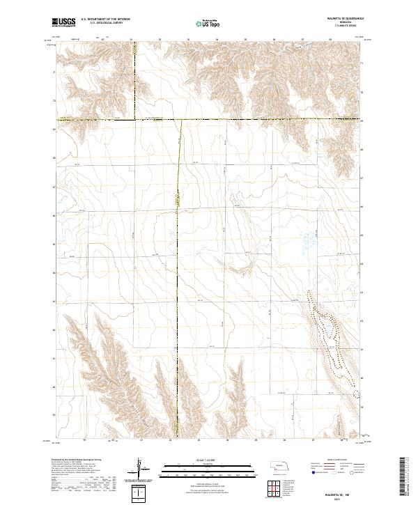
Beverly stands as a small settlement in the valley of Frenchman Creek, situated along the Burlington Northern railroad line. The landscape is defined by the sharp transition between the irrigated lowlands and the dissected uplands to the north, where deep incisions like Sixmile Canyon carve into the plateau. The complex water management system of the 1970s is a primary feature, with the Culbertson Canal and Riverside Canal following the contours of the valley to support local agriculture. Numerous Siphons are marked where these irrigation channels navigate the terrain, illustrating the engineering required to move water across this part of the Great Plains. To the north, the boundary between Hayes and Hitchcock counties runs through a more open, high-altitude terrain marked by the winding path of Blackwood Creek.
Find a feature on this map
20 named features on this map. Tap any name to fly to it.
Don’t see what you’re looking for? This feature index may not catch every label — zoom into the map to look around manually.
Map Details
Editions of this 1973 Beverly Map
This is the sole edition of this map. No revisions or reprints were ever made.
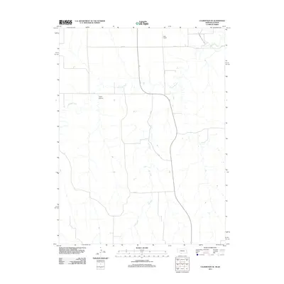
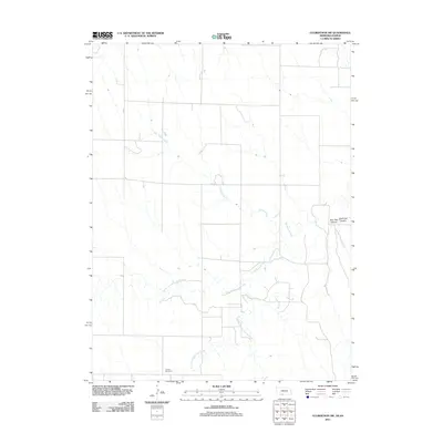
Historical Maps of Beverly Through Time
55 maps found
1962 Culbertson NW
Hitchcock County, NE
1962 Culbertson SW
Hitchcock County, NE
1962 Max NE
Hitchcock County, NE
1962 Max SE
Hitchcock County, NE
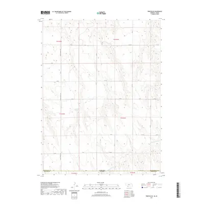
1962 Trenton SE
Hitchcock County, NE
1962 Trenton SW
Hitchcock County, NE
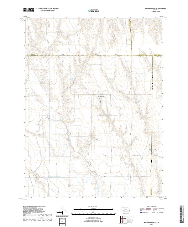
1970 Burger Canyon SE
Hitchcock County, NE
1970 Culbertson SE
Hitchcock County, NE
1973 Beverly
Hitchcock County, NE
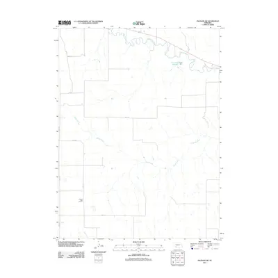
1973 Palisade SW
Hitchcock County, NE

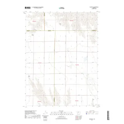
1973 Wauneta SE
Hitchcock County, NE
2011 Beverly
Hitchcock County, NE
2011 Burger Canyon SE
Hitchcock County, NE
2011 Culbertson NW
Hitchcock County, NE
2011 Culbertson SE
Hitchcock County, NE
2011 Culbertson SW
Hitchcock County, NE
2011 Max NE
Hitchcock County, NE
2011 Max SE
Hitchcock County, NE
2011 Palisade SW
Hitchcock County, NE
2011 Trenton SE
Hitchcock County, NE
2011 Trenton SW
Hitchcock County, NE
2011 Wauneta SE
Hitchcock County, NE
2014 Beverly
Hitchcock County, NE
2014 Burger Canyon SE
Hitchcock County, NE

2014 Culbertson NW
Hitchcock County, NE
2014 Culbertson SE
Hitchcock County, NE
2014 Culbertson SW
Hitchcock County, NE
2014 Max NE
Hitchcock County, NE
2014 Max SE
Hitchcock County, NE
2014 Palisade SW
Hitchcock County, NE
2014 Trenton SE
Hitchcock County, NE
2014 Trenton SW
Hitchcock County, NE
2014 Wauneta SE
Hitchcock County, NE
2017 Beverly
Hitchcock County, NE
2017 Burger Canyon SE
Hitchcock County, NE
2017 Culbertson NW
Hitchcock County, NE
2017 Culbertson SE
Hitchcock County, NE
2017 Culbertson SW
Hitchcock County, NE
2017 Max NE
Hitchcock County, NE
2017 Max SE
Hitchcock County, NE
2017 Palisade SW
Hitchcock County, NE
2017 Trenton SE
Hitchcock County, NE
2017 Trenton SW
Hitchcock County, NE
2017 Wauneta SE
Hitchcock County, NE
2021 Beverly
Hitchcock County, NE
2021 Burger Canyon SE
Hitchcock County, NE
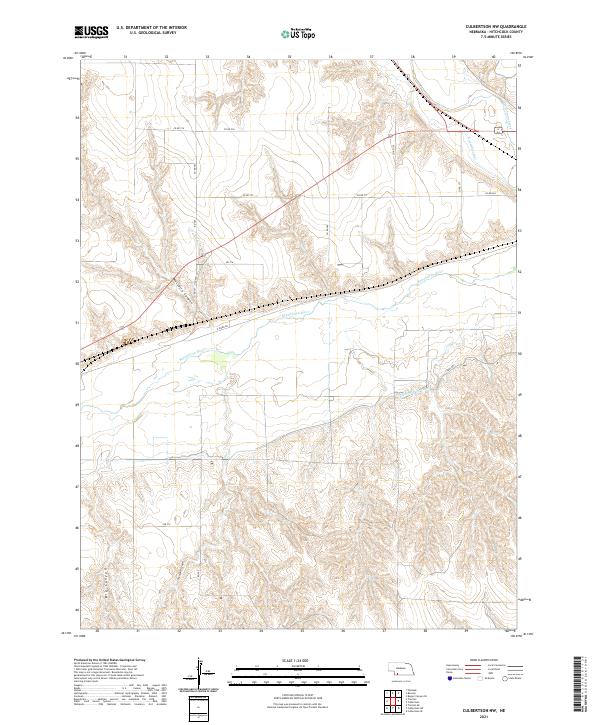
2021 Culbertson NW
Hitchcock County, NE
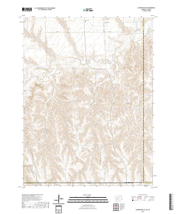
2021 Culbertson SE
Hitchcock County, NE
2021 Culbertson SW
Hitchcock County, NE
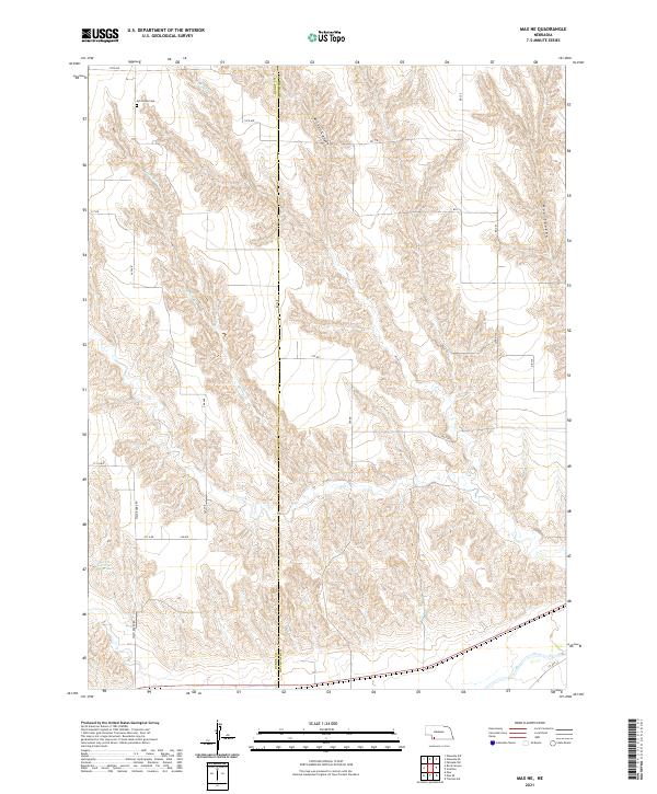
2021 Max NE
Hitchcock County, NE
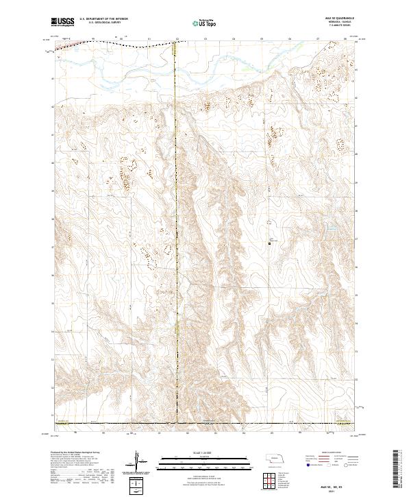
2021 Max SE
Hitchcock County, NE
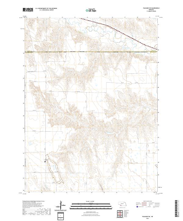
2021 Palisade SW
Hitchcock County, NE
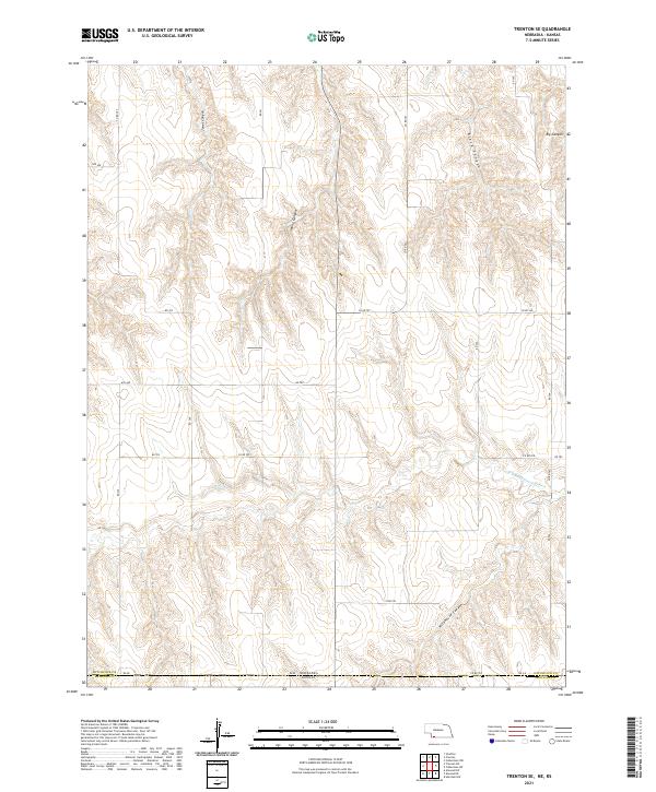
2021 Trenton SE
Hitchcock County, NE
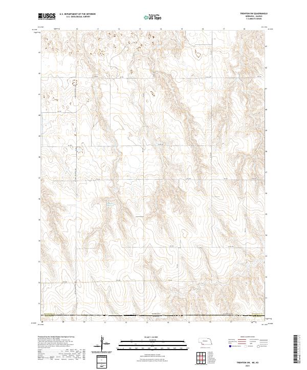
2021 Trenton SW
Hitchcock County, NE
2021 Wauneta SE
Hitchcock County, NE