
1973 Map of Palisade
USGS Topo · Published 1977About this map
Palisade serves as the central hub of this Great Plains landscape, where the waters of Stinking Water Creek join Frenchman Creek at the border of Hayes and Hitchcock counties. The map captures an era of managed water and rail-based commerce, with the Burlington Northern railroad cutting a direct path across the terrain while the Culbertson Canal winds alongside the creek to support local agriculture.
Find a feature on this map
19 named features on this map. Tap any name to fly to it.
Don’t see what you’re looking for? This feature index may not catch every label — zoom into the map to look around manually.
Map Details
Editions of this 1973 Palisade Map
This is the sole edition of this map. No revisions or reprints were ever made.
Other maps of this area

1954 · McCook
USGS Topo · 1:250,000

1957 · McCook
USGS Topo · 1:250,000

1958 · McCook
USGS Topo · 1:250,000

1962 · Trenton
USGS Topo · 1:24,000

1962 · Culbertson NW
USGS Topo · 1:24,000

1962 · Stratton
USGS Topo · 1:24,000
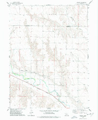
1973 · Beverly
USGS Topo · 1:24,000

1973 · Palisade SW
USGS Topo · 1:24,000
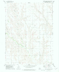
1973 · Burger Canyon West
USGS Topo · 1:24,000

1974 · Hamlet
USGS Topo · 1:24,000