
1974 Map of Hamlet
USGS Topo · Published 1977About this map
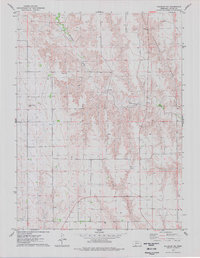
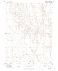
Hamlet and the surrounding Hayes County landscape are defined by the convergence of vital water sources and rail transport in the mid-1970s. The village is situated along Frenchman Creek, where the Burlington Northern railroad corridor parallels the water through the valley. To the north, the terrain is marked by Corral Canyon and the winding course of Stinking Water Creek, a name that reflects the early frontier era of this plains region. Numerous wells are scattered across the section lines, indicating the intensive groundwater management necessary for this agricultural area. Local heritage is grounded at the Meadow Lawn Cem, located just north of the township, which provides a genealogical anchor for the families who settled this portion of the Nebraska panhandle.
Find a feature on this map
8 named features on this map. Tap any name to fly to it.
Don’t see what you’re looking for? This feature index may not catch every label — zoom into the map to look around manually.
Map Details
Editions of this 1974 Hamlet Map
This is the sole edition of this map. No revisions or reprints were ever made.
Other maps of this area

1954 · McCook
USGS Topo · 1:250,000

1957 · McCook
USGS Topo · 1:250,000

1958 · McCook
USGS Topo · 1:250,000

1973 · Palisade
USGS Topo · 1:24,000

1973 · Palisade SW
USGS Topo · 1:24,000

1973 · Wauneta SE
USGS Topo · 1:24,000

1974 · Dittons Creek SE
USGS Topo · 1:24,000

1974 · Hayes Center
USGS Topo · 1:24,000
1974 · Palisade NE
USGS Topo · 1:24,000
1974 · Palisade
USGS Topo · 1:24,000