
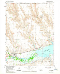
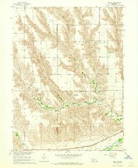
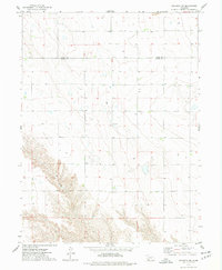
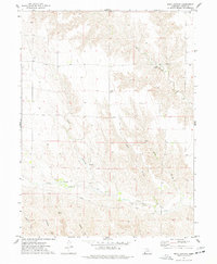
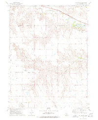
1973 Map of Wauneta SE
USGS Topo · Published 1977About this map
Deep ravines and high plateau country converge at the junction of four southwest Nebraska counties in this 1973 survey. The landscape is defined by massive erosional features like Horse Canyon and Sand Canyon in the north, while Milken Canyon and Hay Canyon carve into the southern terrain. This rugged topography creates a distinct boundary for agricultural development, where flat tablelands are meticulously divided by the fine red dashed lines of fence and field boundaries.
Find a feature on this map
11 named features on this map. Tap any name to fly to it.
Don’t see what you’re looking for? This feature index may not catch every label — zoom into the map to look around manually.
Map Details
Editions of this 1973 Wauneta SE Map
This is the sole edition of this map. No revisions or reprints were ever made.
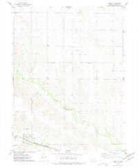
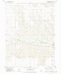
Other maps of this area

1954 · McCook
USGS Topo · 1:250,000

1957 · McCook
USGS Topo · 1:250,000

1958 · McCook
USGS Topo · 1:250,000
1962 · Stratton
USGS Topo · 1:24,000
1962 · Max NE
USGS Topo · 1:24,000
1973 · Wauneta SW
USGS Topo · 1:24,000
1973 · Rock Canyon
USGS Topo · 1:24,000
1973 · Palisade SW
USGS Topo · 1:24,000
1974 · Hamlet
USGS Topo · 1:24,000
1974 · Wauneta West
USGS Topo · 1:24,000