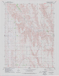
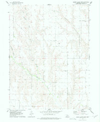
1974 Map of Palisade NE
USGS Topo · Published 1977About this map
Blackwood Creek defines the northern reaches of this Hayes County landscape, cutting a winding path through the high plains of Southwest Nebraska. The 1974 survey highlights a region shaped by erosional drainage, most notably within the deeply carved walls of Government Canyon and Fish Canyon to the south. These landforms provide a stark contrast to the surrounding upland sections, which are primarily marked by the presence of numerous isolated wells and extensive fence lines recorded during the 1973 photogrammetric mapping. For local historians and genealogists, the Union Mission Cem stands as a significant cultural landmark, located along the western edge of the quadrangle. The map captures the intersection of natural topography and agricultural land use in a sparsely populated region of the Great Plains, where water sources and remote cemeteries remain the primary markers of human settlement.
Find a feature on this map
7 named features on this map. Tap any name to fly to it.
Don’t see what you’re looking for? This feature index may not catch every label — zoom into the map to look around manually.
Map Details
Editions of this 1974 Palisade NE Map
This is the sole edition of this map. No revisions or reprints were ever made.
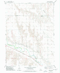
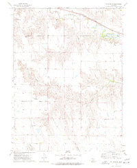
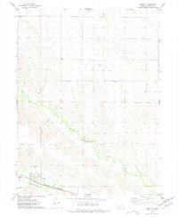
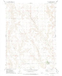
Other maps of this area

1954 · McCook
USGS Topo · 1:250,000

1957 · McCook
USGS Topo · 1:250,000

1958 · McCook
USGS Topo · 1:250,000
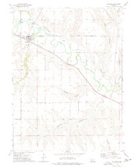
1973 · Palisade
USGS Topo · 1:24,000
1973 · Beverly
USGS Topo · 1:24,000
1973 · Palisade SW
USGS Topo · 1:24,000
1973 · Burger Canyon West
USGS Topo · 1:24,000
1974 · Hamlet
USGS Topo · 1:24,000
1974 · Hayes Center
USGS Topo · 1:24,000
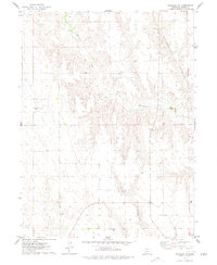
1974 · Palisade
USGS Topo · 1:24,000