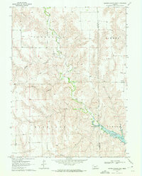
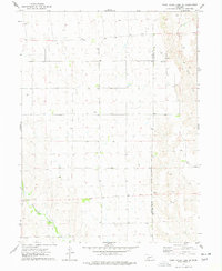
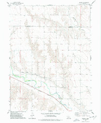
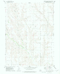
1970 Map of Burger Canyon East
USGS Topo · Published 1975About this map
Red Willow Creek and its complex network of tributaries define this section of the Nebraska landscape along the border of Hayes and Frontier counties. The topography is dominated by deep incisions such as Burger Canyon and Kucera Canyon, which drain into the broader valleys of Dry Creek and Sand Creek. A significant focal point in the southeast is the newly formed Hugh Butler Lake, created by the damming of the creek system. This water management and irrigation infrastructure is further evidenced by a riverside Gaging Station.
Find a feature on this map
17 named features on this map. Tap any name to fly to it.
Don’t see what you’re looking for? This feature index may not catch every label — zoom into the map to look around manually.
Map Details
Editions of this 1970 Burger Canyon East Map
This is the sole edition of this map. No revisions or reprints were ever made.
Other maps of this area

1954 · McCook
USGS Topo · 1:250,000
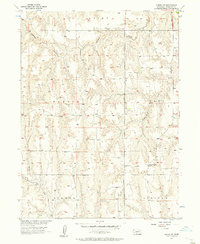
1956 · Curtis SW
USGS Topo · 1:24,000

1957 · McCook
USGS Topo · 1:250,000

1958 · McCook
USGS Topo · 1:250,000
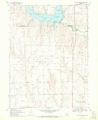
1970 · Red Willow Dam
USGS Topo · 1:24,000

1970 · Quick
USGS Topo · 1:24,000
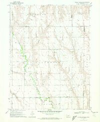
1970 · Burger Canyon SE
USGS Topo · 1:24,000
1973 · Camp Hayes Lake SE
USGS Topo · 1:24,000
1973 · Beverly
USGS Topo · 1:24,000
1973 · Burger Canyon West
USGS Topo · 1:24,000