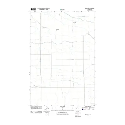
2011 Map of Beverly NE
USGS Topo · Published 2011About this map
Frenchman Hills dominates the topography of this central Washington quadrangle, rising above a landscape defined by an orderly grid of agricultural access roads and desert terrain. The area is characterized by the prominent Low Gap and Low Gap Pass, which provide natural passage through the elevated ridges. These geographical features dictated the placement of early transportation routes, including the intersection of Frenchman Hills Rd and Beverly Burke Rd S. The map reflects a meticulously organized rural layout, where numeric designations like Road 12 SW and Road 13 SW follow the section lines of the Columbia Basin. This survey by the U.S. Geological Survey documents the intersection of high-desert landforms and modern land management, preserving the specific configuration of Grant County's infrastructure at the start of the 21st century.
Find a feature on this map
28 named features on this map. Tap any name to fly to it.
Don’t see what you’re looking for? This feature index may not catch every label — zoom into the map to look around manually.
Map Details
Editions of this 2011 Beverly NE Map
This is the sole edition of this map. No revisions or reprints were ever made.
Other maps of this area

1909 · Quincy
USGS Topo · 1:62,500

1910 · Quincy
USGS Topo · 1:62,500

1910 · Winchester
USGS Topo · 1:62,500

1911 · Red Rock
USGS Topo · 1:62,500

1912 · Beverly
USGS Topo · 1:62,500

1950 · Smyrna
USGS Topo · 1:62,500

1951 · Smyrna
USGS Topo · 1:62,500

1953 · Walla Walla
USGS Topo · 1:250,000

1953 · Ritzville
USGS Topo · 1:250,000

1954 · Beverly NE
USGS Topo · 1:24,000