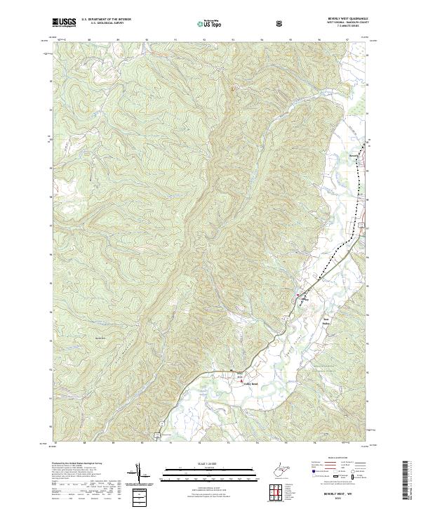
2023 Map of Beverly West
USGS Topo · Published 2023About this map
Rich Mountain and Nettle Mtn dominate the western half of this Randolph County landscape, where the high elevations give way to the agricultural and residential corridor of the Tygart Valley River. Along the river valley, the settlements of Valley Bend, Dailey, and East Dailey show a concentrated pattern of land use centered on the fertile flats and the primary north-south road network. The eastern edge of the survey reaches the historic town of Beverly, providing a detailed view of its street layout and proximity to Coverly Run and Troutwine Run.
Find a feature on this map
49 named features on this map. Tap any name to fly to it.
Don’t see what you’re looking for? This feature index may not catch every label — zoom into the map to look around manually.
Map Details
Editions of this 2023 Beverly West Map
This is the sole edition of this map. No revisions or reprints were ever made.
Other maps of this area

1889 · Beverly
USGS Topo · 1:125,000

1892 · Beverly
USGS Topo · 1:125,000

1893 · Buckhannon
USGS Topo · 1:125,000

1896 · Buckhannon
USGS Topo · 1:125,000

1897 · Buckhannon
USGS Topo · 1:125,000

1909 · Elkins
USGS Topo · 1:62,500

1912 · Sago
USGS Topo · 1:48,000

1913 · Pickens
USGS Topo · 1:48,000

1914 · Sago
USGS Topo · 1:62,500

1915 · Pickens
USGS Topo · 1:62,500