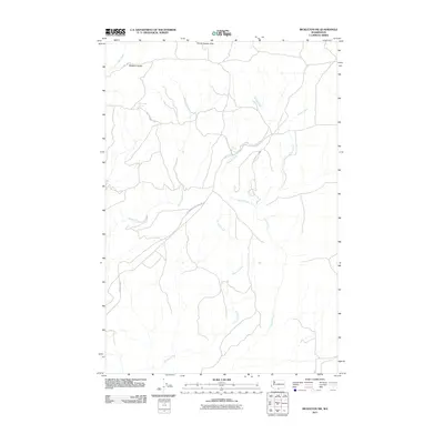
2011 Map of Bickleton NW
USGS Topo · Published 2011About this map
Horse Heaven Hills and Bickleton Ridge dominate the landscape of this Klickitat County region, where the terrain is defined by a network of drainage systems flowing through high rangeland. The map illustrates a rural environment primarily organized around seasonal water sources and ranching infrastructure, such as Milk Ranch Spring and Box Springs. Transportation is limited to a few arterial routes like the Goldendale Bickleton Rd and Bickleton Hwy, which connect the isolated homesteads and grazing lands. These corridors follow the natural contours of the land between Quartz Creek and Spring Creek, providing a clear look at how geography dictated the placement of roads and early water claims in this part of Washington.
Find a feature on this map
13 named features on this map. Tap any name to fly to it.
Don’t see what you’re looking for? This feature index may not catch every label — zoom into the map to look around manually.
Map Details
Editions of this 2011 Bickleton NW Map
This is the sole edition of this map. No revisions or reprints were ever made.
Other maps of this area

1910 · Zillah
USGS Topo · 1:125,000

1916 · Arlington
USGS Topo · 1:125,000

1937 · White Swan
USGS Topo · 1:125,000

1950 · Yakima
USGS Topo · 1:250,000

1953 · The Dalles
USGS Topo · 1:250,000

1956 · The Dalles
USGS Topo · 1:250,000

1957 · The Dalles
USGS Topo · 1:250,000

1957 · Satus Pass
USGS Topo · 1:62,500

1958 · Yakima
USGS Topo · 1:250,000

1961 · Yakima
USGS Topo · 1:250,000