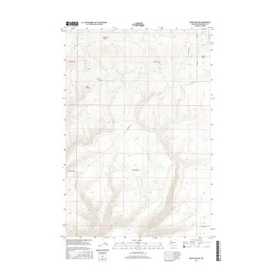
2017 Map of Bickleton NW
USGS Topo · Published 2017About this map
Bickleton Ridge dominates the northern reaches of this Klickitat County landscape, which transitions from high ridgelines into a network of seasonal watercourses and steep drainages. The area is defined by its water sources, including the centrally located Box Springs and the northern Milk Ranch Spring, which likely served as critical infrastructure for local ranching operations. The topography is deeply incised by features such as Dairy Canyon and Wood Gulch, illustrating the erosional patterns of the Horse Heaven Hills region.
Find a feature on this map
22 named features on this map. Tap any name to fly to it.
Don’t see what you’re looking for? This feature index may not catch every label — zoom into the map to look around manually.
Map Details
Editions of this 2017 Bickleton NW Map
This is the sole edition of this map. No revisions or reprints were ever made.
Other maps of this area

1910 · Zillah
USGS Topo · 1:125,000

1916 · Arlington
USGS Topo · 1:125,000

1937 · White Swan
USGS Topo · 1:125,000

1950 · Yakima
USGS Topo · 1:250,000

1953 · The Dalles
USGS Topo · 1:250,000

1956 · The Dalles
USGS Topo · 1:250,000

1957 · The Dalles
USGS Topo · 1:250,000

1957 · Satus Pass
USGS Topo · 1:62,500

1958 · Yakima
USGS Topo · 1:250,000

1961 · Yakima
USGS Topo · 1:250,000