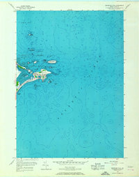
1956 Map of Biddeford Pool
USGS Topo · Published 1967About this map
Fletcher Neck and the protected waters of The Pool define this coastal landscape near the city limits of Biddeford and Saco. Compiled from mid-century aerial photography and planetable surveys, the map reveals a community defined by its maritime geography and seasonal recreation. The residential cluster at Biddeford Pool is anchored by Marie Joseph Academy and the Abenakee Golf Club, while the seaward approach is guarded by a Lighthouse on Wood Island and a U. S. Coast Guard Station.
Find a feature on this map
40 named features on this map. Tap any name to fly to it.
Don’t see what you’re looking for? This feature index may not catch every label — zoom into the map to look around manually.
Map Details
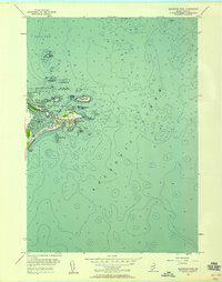
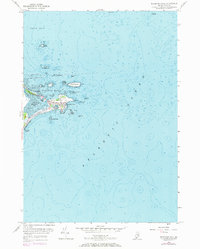
Editions of this 1956 Biddeford Pool Map
3 editions found
Other maps of this area

1891 · Portland
USGS Topo · 1:62,500

1891 · Biddeford
USGS Topo · 1:62,500

1893 · Biddeford
USGS Topo · 1:62,500

1893 · Portland
USGS Topo · 1:62,500

1893 · Casco Bay
USGS Topo · 1:62,500

1914 · Portland
USGS Topo · 1:48,000

1914 · Casco Bay
USGS Topo · 1:48,000

1916 · Portland
USGS Topo · 1:62,500

1916 · Casco Bay
USGS Topo · 1:62,500

1916 · Portland And Vicinity
USGS Topo · 1:62,500