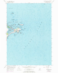
1956 Map of Biddeford Pool
USGS Topo · Published 1971About this map
Biddeford Pool and the protective arm of Fletcher Neck define this coastal landscape, where the sea meets a well-established summer colony and historic maritime community. The village is centered around The Pool and Wood Island Harbor, serving as a focal point for local navigation and coastal life. Notable institutions like the Marie Joseph Academy and the Abenakee Golf Club appear alongside family-oriented landmarks such as Hills Beach and Fortunes Rocks. Offshore, a complex of islands including Stage Island, Wood Island with its Lighthouse, and Eagle Island guard the entrance to Saco Bay. This survey includes 1970 photorevisions, indicated in purple, showing the post-war evolution of the shoreline and roads such as Beach Road and Main Street as the area transitioned into a more modern residential and recreational retreat.
Find a feature on this map
44 named features on this map. Tap any name to fly to it.
Don’t see what you’re looking for? This feature index may not catch every label — zoom into the map to look around manually.
Map Details
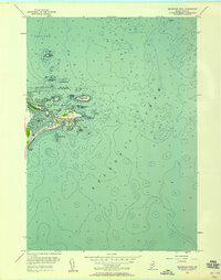
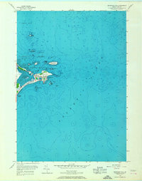
Editions of this 1956 Biddeford Pool Map
3 editions found
Other maps of this area

1891 · Portland
USGS Topo · 1:62,500

1891 · Biddeford
USGS Topo · 1:62,500

1893 · Biddeford
USGS Topo · 1:62,500

1893 · Portland
USGS Topo · 1:62,500

1893 · Casco Bay
USGS Topo · 1:62,500

1914 · Portland
USGS Topo · 1:48,000

1914 · Casco Bay
USGS Topo · 1:48,000

1916 · Portland
USGS Topo · 1:62,500

1916 · Casco Bay
USGS Topo · 1:62,500

1916 · Portland And Vicinity
USGS Topo · 1:62,500