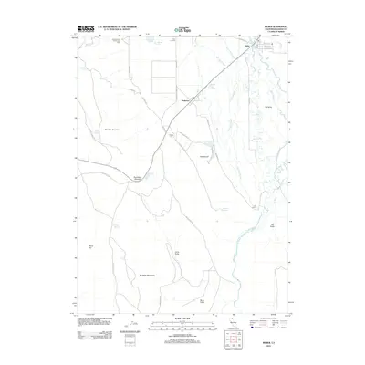
2012 Map of Bieber
USGS Topo · Published 2012About this map
Bieber and the neighboring settlement of Nubieber anchor this high-valley landscape along the winding course of the Pit River. The terrain is defined by the sharp contrast between the level agricultural floor of Big Valley and the rising slopes of the Big Valley Mountains to the west. This 2012 survey illustrates a complex hydrological network where natural drainage features like Bull Run Slough, Egg Lake Slough, and Gobel Slough meander across the valley floor, alongside man-made water storage like the Thompson Reservoir and Nine Springs Reservoir.
Find a feature on this map
39 named features on this map. Tap any name to fly to it.
Don’t see what you’re looking for? This feature index may not catch every label — zoom into the map to look around manually.
Map Details
Editions of this 2012 Bieber Map
This is the sole edition of this map. No revisions or reprints were ever made.
Other maps of this area

1886 · Lassen Peak
USGS Topo · 1:250,000

1886 · Modoc Lava Bed
USGS Topo · 1:250,000

1892 · Modoc Lava-Bed
USGS Topo · 1:250,000

1892 · Lassen Peak
USGS Topo · 1:250,000

1894 · Lassen Peak
USGS Topo · 1:250,000

1939 · Halls Flat
USGS Topo · 1:125,000

1954 · Alturas
USGS Topo · 1:250,000

1955 · Westwood
USGS Topo · 1:250,000

1957 · Little Valley
USGS Topo · 1:62,500

1957 · Jellico
USGS Topo · 1:62,500