
Loading...
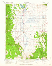
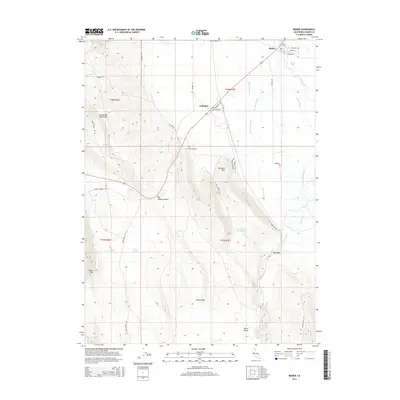
Loading map...1961 Map of Bieber
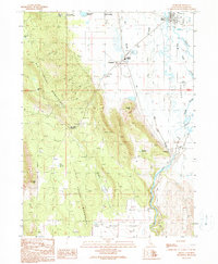
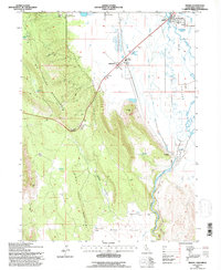
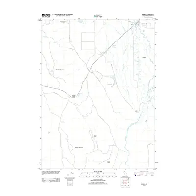
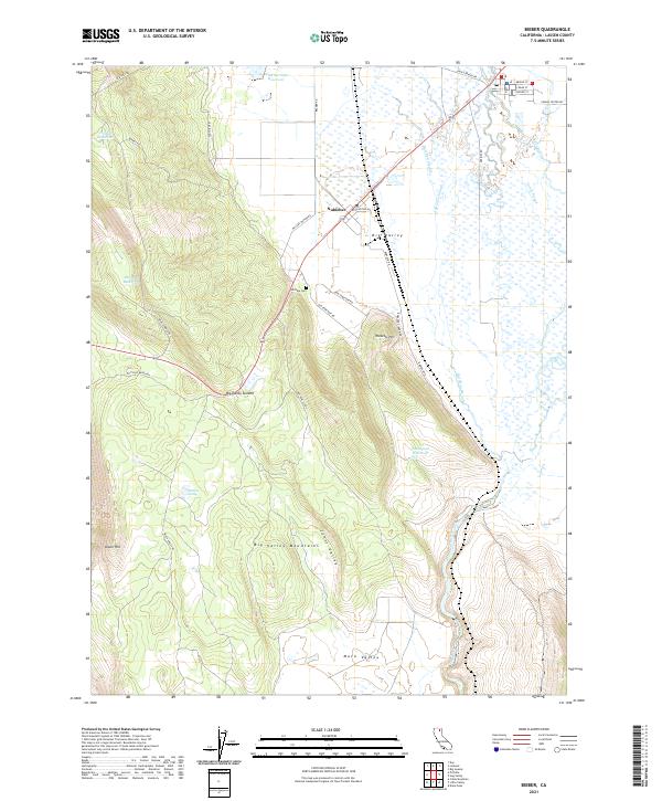
USGS Topo · Published 1967About this map
The Pit River cuts through this Big Valley landscape, where ranching and rail infrastructure define the local geography in the early 1960s. The town of Bieber serves as a central hub, flanked by smaller settlements like Nubieber and Pumpkin Center. The presence of Bieber Station and Lookout Siding highlights the importance of the railroad corridor that parallels the river and local roads like the Susanville Road.
Find a feature on this map
63 named features on this map. Tap any name to fly to it.
Don’t see what you’re looking for? This feature index may not catch every label — zoom into the map to look around manually.
Map Details
Date Portrayed1961
Date Published1967
PublisherU.S. Geological Survey
Map TypeTopographic
Scale1:62,500
Physical Dimensions16.6 x 20.8 inches
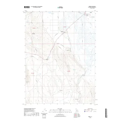
Editions of this 1961 Bieber Map
2 editions found
Historical Maps of Hot Springs Through Time
7 maps found
Featured Locations
Source Details
SourceU.S. Geological Survey
CopyrightPublic Domain